• Hello, please take a minute to check out our awesome content, contributed by the wonderful members of our community. We hope you'll add your own thoughts and opinions by making a free account!

Tropical Hurricane Ian

This is low for the GSP area.

The NBM blends a ton of models together and gives higher weighting to the more reliable ones, while less to the non reliable ones. It's just an idea. 4-6 inches seems to be a good idea but track (which we still do not know) will dictate all the #s in the end.
 
Some way too early rainfall amounts for key areas from this mornings NBM:

CLT - 3.16 in
GSP - 3.6 in
ATL - 2.7 in
CHS - 6.89 in
TLH - 5.06 in
SAV - 5.75 in
HKY - 3.92 in
RDU - 4.07 in
MRH - 8.27 in
JAX - 10.83 in
MOB - 0.07 in
TPA - 10.04 in
CAE - 3.97 in
We NEED this!!
 
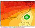
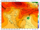
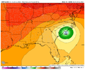
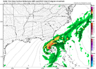
I just realized the ICON wasn't exactly an outlier, the Ukie came inland south of Tampa, basically ran up the peninsula, exited briefly off the NE part of Fl and 2nd LF up the coast as very weak system but tons of rain. Curious to see if it shifts back west with it's 12z run. It and the Euro have diverged a little bit.

sfcwind_mslp.us_se.png

qpf_acc.us_ma.png
 
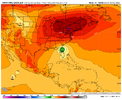
06z EURO shifted west bigtime offshore Tampa. It’s west of the 06z GFS
Keep in mind it only runs out to 72 hrs, while it is west of it's previous track, it is heading N/NNE and would probably still end up in the big bend area of Fl. Just didn't want anyone to read that west shift as it heading towards Destin or something that far west.
 
I just realized the ICON wasn't exactly an outlier, the Ukie came inland south of Tampa, basically ran up the peninsula, exited briefly off the NE part of Fl and 2nd LF up the coast as very weak system but tons of rain. Curious to see if it shifts back west with it's 12z run. It and the Euro have diverged a little bit.

sfcwind_mslp.us_se.png

qpf_acc.us_ma.png
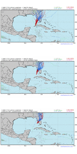
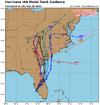
Yep.....there is some indication in the spaghetti models of some movement toward the east coast of FL.

This 00z ICON model is devastating for Tampa Bay. Front and East quadrant into the bay...... geez
2nd LF in SC.

icon_mslp_wind_seus_fh60-123.gif
 
Yep.....there is some indication in the spaghetti models of some movement toward the east coast of FL.

This 00z ICON model is devastating for Tampa Bay. Front and East quadrant into the bay...... geez
2nd LF in SC.

View attachment 122121
I don't see it happening just put out there as part of the discussion, I'd be shocked if the Uk didn't move back west with it's track at 12z.
 
GFS also totally shreds it at landfall... Basically a naked swirl with this shear View attachment 122103
What system was that last year (Or two ago) that models kept inching west and west, and was progged to be a direct hit on NO. And It did, but it was just a naked swirl of low pressure and nothing more than a breezy day.

Wondering.
 
genuinely baffled on how the 12z models will run. shift east? shift west? i don't know. i have absolutely no read. i spent 20 minutes trying to find the synoptic difference on why the icon is doing what it's doing and didn't see it. steering based on vibes. good luck.
 
Back
Top