Does it bend back west?

Does it bend back west?


Florida is very much flatFlorida is not that wide and flat. I think the intensity for it when it crosses FL and gets back in the Atlantic all depends on how fast it moves across FL. The longer it takes, the more it will weaken. If it moves fast and gets back out into the Atlantic, it could keep a lot of it's intensity and strengthen again before a second landfall.
def think this thing might be breathing the same rarified air as harvey, michael, other notable examples on approachJust had a dropsonde of 958mb. 5mb drop in an hour. RI is a real thing and 920's doesn't seem out of the question right now.
If it takes that path into the upstate, it shuts off the moisture transport here. We end up with about 2" before the precip shuts down.
I said before that Hurricanes are no longer behave as they have in the past with weakening on approach to land. These extremely warm waters that we have now compared to the past is just like jet fuel for these storms. Even where you get dry air and shear, storms either aren't weakening considerably or actually gain some strength if it's over very warm waters. Right now there's shear but its coming across the NE and with this thing moving NE it's really not having any affect and is venting the storm. At the end of the day you can have all these obstacles in the path of these storms, but if it's over 85 degree + water, it's almost obsolete at this point. It's almost like God dropped steroids in the ocean waters of the Gulf and Caribbean.def think this thing might be breathing the same rarified air as harvey, michael, other notable examples on approach
They just did a pass and no Cat 4 winds has been found.Category 4 on the next update?
They had a flagged 107kt but another pass found 101They just did a pass and no Cat 4 winds has been found.
Center Temp : +16.9C Cloud Region Temp : -70.3CEspecially if it continues trending forwards Cape Coral area where any elevation in the middle of the state really drops off.Florida is very much flat

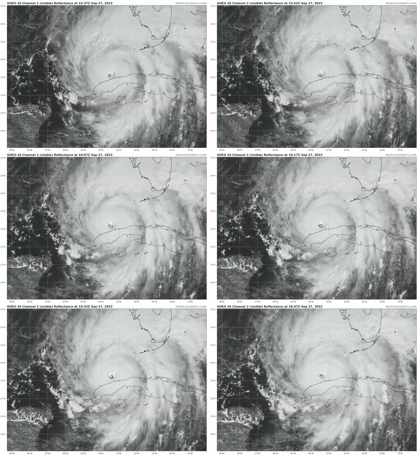
Cat 4 sat presentation. It will be upgraded soon.New satellite still shows ridiculous strengthening. from 935 to 933mb and 125kt to 127 within 30 min. again its satellite but ruh roh
They just did a pass and no Cat 4 winds has been found.
Cat 4 sat presentation. It will be upgraded soon.
I know it’s off topic, but seriously those planes need a major upgrade.Plane 2 is about to be in the storm. Hopefully we have working instruments lolz
I disagree to an extent. The big hits over the past few years have much more to do with timing. For instance in 04-05 the big storms reached their peaks early as opposed to the past few years where they tend to bumble around until right before landfall to finally put it together and go haywire. Now what has caused that can be debated.I said before that Hurricanes are no longer behave as they have in the past with weakening on approach to land. These extremely warm waters that we have now compared to the past is just like jet fuel for these storms. Even where you get dry air and shear, storms either aren't weakening considerably or actually gain some strength if it's over very warm waters. Right now there's shear but its coming across the NE and with this thing moving NE it's really not having any affect and is venting the storm. At the end of the day you can have all these obstacles in the path of these storms, but if it's over 85 degree + water, it's almost obsolete at this point. It's almost like God dropped steroids in the ocean waters of the Gulf and Caribbean.
See I disagree and chop it up to clear climate change making fueling these storms more and more obvious.I disagree to an extent. The big hits over the past few years have much more to do with timing. For instance in 04-05 the big storms reached their peaks early as opposed to the past few years where they tend to bumble around until right before landfall to finally put it together and go haywire. Now what has caused that can be debated.
If this makes a 2nd landfall (IF) what affects will this have on us in the upstate? Less rain?See I disagree and chop it up to clear climate change making fueling these storms more and more obvious.
What is UKMET showing for rain accumulations?
Absolutely brutal. Pretty much a 125knt hit! HWRF is about the same should it hit the same area and not move farther north.
