• Hello, please take a minute to check out our awesome content, contributed by the wonderful members of our community. We hope you'll add your own thoughts and opinions by making a free account!

Tropical Hurricane Ian

Agree with Shane. Euro will be interesting for sure. Stay the path or adjust. Usually lean euro, but not always. If it stays the same I will probably lean that way too. This isn’t a trof trying to come down in July or August. It’s almost October
 
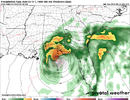
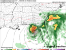
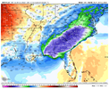
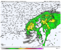
Yeah the QPF output was likely off on those runs. CAD dome and lift along the mountains could really start cranking up the totals. Widespread 3-6" with locally higher type event.
 
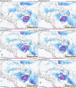
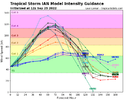
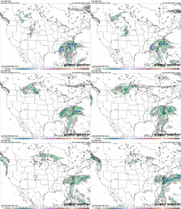
Do we know if recon data was put into the 12z GFS and CMC? If so this could explain such drastic shifts in guidance.
 
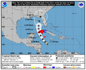
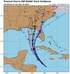
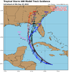
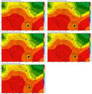
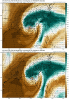
Now I would start to argue that IF (and that’s a big if) these west trends continue and the storm has a chance to ride the Eastern gulf and hit somewhere along the Florida panhandle you then have to start thinking that shear could become an issue for it along with some phasing potential with the dropping trough. This would weaken the storm as it heads to a landfall at that location. Regardless the impacts would be strongly felt regardless but that scenario is on the table as well.
 
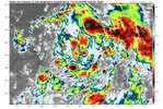
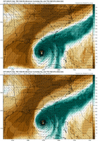
The Naked COC looks like it's already past 15N after heading NW, but is now trekking WNW towards the NE part of the Convection. There's clearly another weaker spin to it's SW. I think TD9 eventually consolidates around 15.7N, 71.8. This system is much further NE than models are indicating.
 
Agree with Shane. Euro will be interesting for sure. Stay the path or adjust. Usually lean euro, but not always. If it stays the same I will probably lean that way too. This isn’t a trof trying to come down in July or August. It’s almost October

IDK... I would wait for another Recon Flight before leaning any direction. I don't know exactly where the COC is located, but I suspect it will establish itself further north. In fact, the latest Thunderstorm bursts are occurring further north where the naked swirl is entering.
 
The latest GFS run has the center of TD 9 going over the Appalachians on it's inland track northward after making landfall. That would bring disastrous flooding to mountain communities in North Carolina, Virginia and West Virginia in highly flood prone areas.
 
"Way down yonder on the Chattahoochee". OPAL is that you coming Back?
 
Back
Top