Shaggy
Member
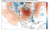
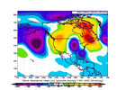
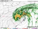
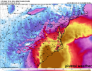
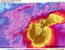
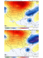
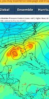
The next couple of days with the increased balloon launches should help nail it down.This is a large difference in the trough between the euro and the rest with not much support from the ops but some of the gefs did look like this. I don't think its unbelievable but you are kind of looking at a south displaced sandy or Hazel type scenario here for usView attachment 121884


