HugeSnowStick
Member
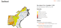
Just as long as Atlanta and the interior SE gets a lot of rain, way too dry for way too long.
I'm glad the areas west are definitely getting it because they are very dry as well. I'm not overly convinced on this for us yet, we have been missed to much this summer I just can't bring myself to believe anything. The forecasted totals here have been cut over the past couple of days as we really won't know anything until we are in the short term with the high resolutions models. It feels like we will be lucky to get an inch at this point, I hope its more. Most places have had barely an inch or two since July, and I honestly don't know how we were only D0 last week.Just as long as Atlanta and the interior SE gets a lot of rain, way too dry for way too long.

sounds about right, once its on land she's gonna fade fast.Interesting. FFC sees it fizzling out in central MO and drifting SE through the weekend:
Francine`s northward advance will become blocked by the ridge on
Saturday, and it will struggle to make it further north than central
Missouri. At this point, the storm will dissipate, with its
extratropical remnants forecast to gradually drift southeastward
through the weekend. With our area remaining in the moist airmass on
the east side of the remnants and dewpoints lingering in the upper
60s to low 70s, scattered to numerous diurnally enhanced
thunderstorms are expected through the weekend. Temperatures will
also gradually climb through the weekend, with highs increasing by a
couple of degrees each day.

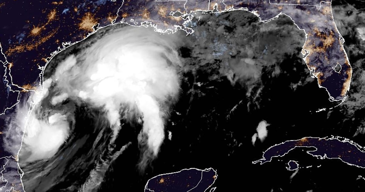
Francine current radar. Interesting look. Little eye spinning tight inside the northside of what looks like a bigger eye. Might be were to watch for any intensification. www.spaghettimodels.com

I might wrong but I’m fairly certain that I have heard mets say in the past that wind shear to the north well away from the storm can often help with outflow.
It's not necessarily the shear but a hurricane outflow can connect up with the jet stream if it's nearby to create an outflow jet which would aid in intensification.I might wrong but I’m fairly certain that I have heard mets say in the past that wind shear to the north well away from the storm can often help with outflow.
I'm imagining the groans if it comes right back.

