Shaggy
Member
More like the euro. When it stops and goes back due west into Savanah then it will match the gfsICON taking a step to the GFS.
More like the euro. When it stops and goes back due west into Savanah then it will match the gfsICON taking a step to the GFS.
It’s a lot further SW at landfall. It went from near Cape Lookout to almost Myrtle Beach.It doesnt look WAY SW just a little and now we will be in the worst part of the storm
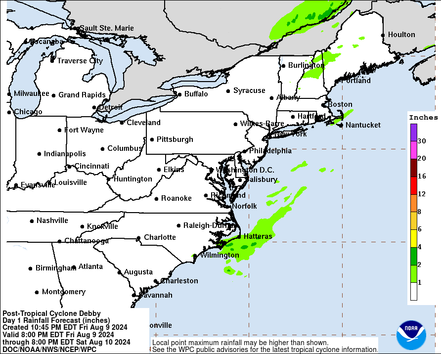
View attachment 149440
At least. One more shift like that the center would pass close to Charlotte.The ICON shifted a good 80-90 miles SW from 18Z
Half the eyewall is strong just need to wrap around that west side and boom. The way the coast of Florida is shaped if it could stop the wobbles east and go North like the NHC says it’s going that would give it an extra 6hrs in the gulf.
210 miles approximately.It’s a lot further SW at landfall. It went from near Cape Lookout to almost Myrtle Beach.
In almost the same place as 18z so far at hour 111. This model is not giving ground at all yet.Im headed to bed and while at 54 the gfs looks the same the location of the high over the upper midwest is far differnt. It wont end up. like 18Z. So far the same, i was thinking more south
I think like 27 inches in Americus from Alberto. I don’t think Alberto impacted as many populated areas as Debby might. Alberto wasn’t even retired I don’t believe.Hope it's not another td Alberto in 94, but when they cut off and wander bad stuff, happens, like bodies leaving cemeteries, and torrents over ten foot high bridges washing people away like happened down the road. The spillway at a near by lake had a 100 foot rooster tail of water blasting up from it. 20 inches in 24 hours down in Americas, and this one looks to covering the same ground in the beginning.
DONT GIVE UP ON IT. THE HWRF HAS BEEN THAT WAY THE SINCE LAST NIGHT. THE HWRF HAS BEEN PRETTY RELIABLE FOR THE LAST SEVERAL STORMS IMHOIt is changing and has the storm back in the Gulf now about 50 miles SW of Panama City.
Edit: I give up on the GFS, it is laughable now and there is no way it is right


 water.noaa.gov
close to Cat 2 but not enough time in my opinion!4:00 AM EDT Mon Aug 5
Location: 29.3°N 83.7°W
Moving: NNE at 12 mph
Min pressure: 981 mb
Max sustained: 80 mph
400 AM EDT Mon Aug 05 2024
...DEBBY NEARING LANDFALL IN THE FLORIDA BIG BEND...
...400 AM EDT POSITION UPDATE...
Doppler radar images from Tallahassee indicate that Debby is
nearing landfall and the eastern portion of the eyewall is moving
onshore in the Florida Big Bend. An observation in Cedar Key,
Florida, recently reported a sustained wind of 50 mph (80 km/h)
with a gust to 66 mph (106 km/h).
Tropical Cyclone Updates will continue through landfall.
SUMMARY OF 400 AM EDT...0800 UTC...INFORMATION
----------------------------------------------
LOCATION...29.3N 83.7W
ABOUT 40 MI...65 KM WNW OF CEDAR KEY FLORIDA
ABOUT 80 MI...125 KM SSE OF TALLAHASSEE FLORIDA
Last run of HWRF was 978.Lowest extrapolated surface pressure this pass 979.5 mb.
082930 2925N 08346W 6968 03002 9795 +165 +108 277012 016 021 002 00


.png")
