• Hello, please take a minute to check out our awesome content, contributed by the wonderful members of our community. We hope you'll add your own thoughts and opinions by making a free account!

Wintry February 6th-7th

18z NAM looking flatter out to hr 21....whether that will have meaningful impacts downstream, we shall see.

Edit: Northern steam is going to be a problem, though.
 
Last edited:
18z NAM looking flatter out to hr 21....whether that will have meaningful impacts downstream, we shall see.
Flatter is our only hope actually, would have less issue with waa with that.... let's see how it translates out here shortly.
 
Flatter is our only hope actually, would have less issue with waa with that.... let's see how it translates out here shortly.
Significantly slower than last run, afraid we are going to lose our cold before it gets here. By 00z Sunday it was hammering across W NC last run, now it’s still dry.
 
Northern stream energy is a lot more amped. Also, it looks like the whole storm system has slowed down since 12z. Don't like the change.
Lol... we’re talking about big models swings a 7-8 days out. This is pretty crazy to be only 48 hrs out. You would think we would at least have timing pretty well nailed down.
 
18Z NAM is hot garbage for the Triad. Totally foreseeable. 45 degrees at 0Z, by 3Z is 33 but drying out aloft and warm nose coming in. At best it's a two hour window for snow and that's probably pushing it.
 
Lol... we’re talking about big models swings a 7-8 days out. This is pretty crazy to be only 48 hrs out. You would think we would at least have timing pretty well nailed down.

We were relying on this coming in early while we still have the colder air aloft....if it gets delayed, it's over for almost the entire board.
 
18Z NAM is hot garbage for the Triad. Totally foreseeable. 45 degrees at 0Z, by 3Z is 33 but drying out aloft and warm nose coming in. At best it's a two hour window for snow and that's probably pushing it.
Precip cut in half in a lot of places compared to 12z run. Maybe Euro was on to something.
 
Mountains seems like best shot of seeing measurable snow


Sent from my iPhone using Tapatalk
 
In case y’all want to see how different this run was, 12km put next to the sleet, and 3km on the sleet line. I haven’t seen a single model run before today give me sleet or ice for this storm. Crazy
 
I swear this model is taunting me. Been giving me these damn fantasy looks all winter when no other model is close. Local NWS says maybe half an inch tomorrow evening into Sunday morning.

8A52ACE5-E2B1-4CAD-BEDB-504F1B72D63F.png
 
I spoke too soon but I know how this will go down GSP just extended there watch for all of my area out to hickory along 1-40 with 3-7 possible in Marion Sat Night. By tommrow they'll drop me down to 1-3....

Game time= Sloppy inch u have to be up at 3am to enjoy...
 
In case y’all want to see how different this run was, 12km put next to the sleet, and 3km on the sleet line. I haven’t seen a single model run before today give me sleet or ice for this storm. Crazy
The NAM is good with thermals. I was surprised last system stayed all snow until the very end so there is a chance it is a little to warm up there this time...but probably not. Verbatim, there are only 2 hours in that sounding from the 3k that are sleet or rain (surface is +32) but then it flips back to snow. We'll just have to hope no more NW trend or weaker storm.
 
I’d argue the 18z RGEM took a step towards what the NAM/Euro are showing, but it still looks better than they do. Also jackpots CLT on the front end. But this seems to be a weenie cold model these days.

Kuchera clown:

661EC452-1CC5-4FAC-B990-582CF91CD4AC.png
 
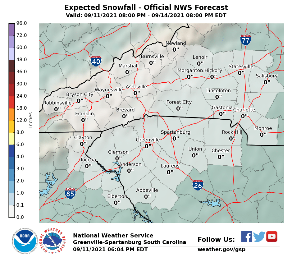
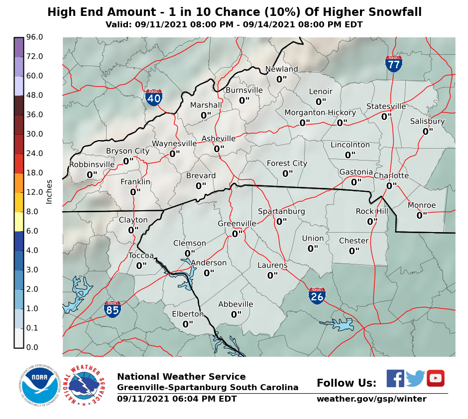
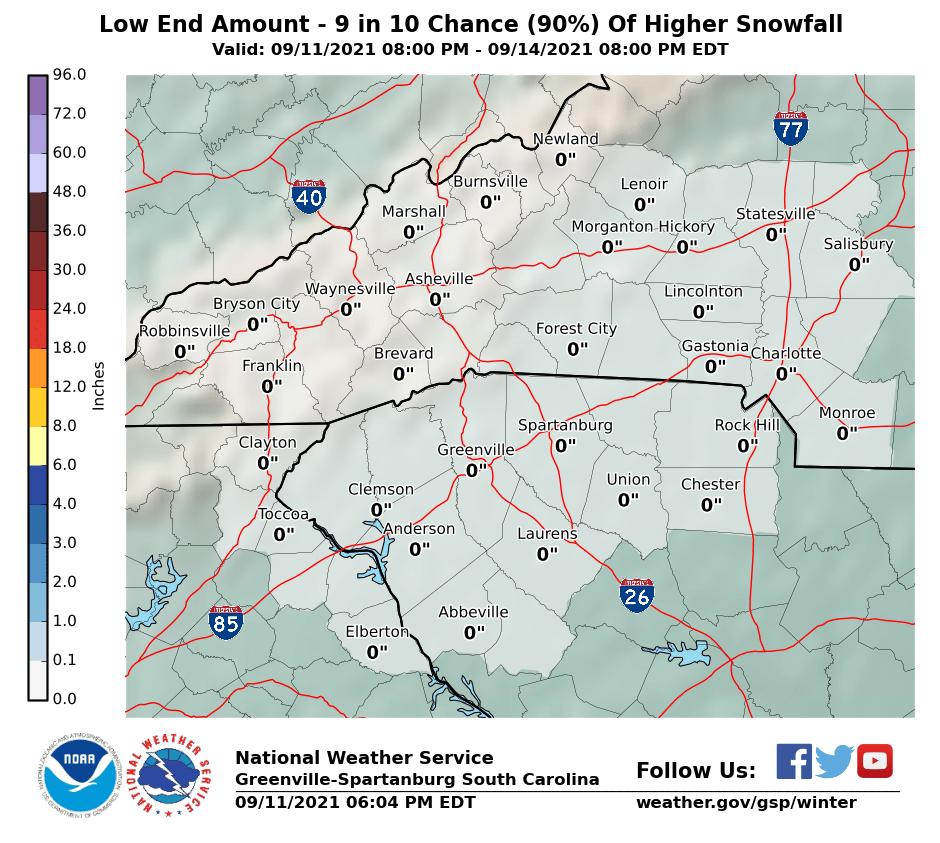
Updated forecast as well as high end and low end maps for GSP
StormTotalSnowWeb.png
SnowAmt90Prcntl.png
SnowAmt10Prcntl.png
 
Back
Top