• Hello, please take a minute to check out our awesome content, contributed by the wonderful members of our community. We hope you'll add your own thoughts and opinions by making a free account!

Pattern February 2024

Georgia, Bama and SC thread- Deep South
NC thread- NC thread
Miss, TN, Kentucky and the Virginias etc.... Mid South thread

You can't lump Western NC and Eastern NC together. It's like 2 totally different climates. If it was broken out, the mountains and foothills would need their own thread. Not disrespecting our Western NC friends but that's how it is.
 
Last edited:
While things are progressing nicely towards a 2-3 week period of opportunity. some will still miss out. Who is impossible to say, but I do think the vast majority will see some kind of winter weather by March 10th but the type and amount are a crap shoot at this juncture. Things could still change and we all need to keep that in mind before we start buying snowblowers or tractors . Weather is fickle and will do whatever it wants to do. That said, I want snow but also hope everyone else gets some too, well except for Brick?
 
So if the pattern coming up is as good as we think it is, we should start getting some real weenie runs soon. When do we expect them to start showing up?
I would say inside 240hrs so we have some time if looking out at week of 2/12. Maybe this weekend
 
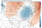
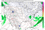
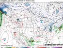
With this kind of stj rolling you'd have to worry about phasing cutting and miller BsView attachment 144585
This screams a large Tennessee valley and northeast snowstorm followed by suppression city. The only chance we really have east of alps is as this cold air moves out and relaxes eastward. And that time period is even further in the future and getting towards late February and early March. I really don’t feel good at all about this. I hope I am wrong so bad, but I have a feeling the only ones scoring will be TN,KY, and VA.
 
You can't lump Western NC and Eastern NC together. It's like 2 totally different climates. If it was broken out, the mountains and foothills would need their own thread. Not disrespecting our Western NC folks but that's how it is.
Yeah, especially because those of us north of 40 share more in common with people in southside virginia with events that hit us vs. say the upstate and WNC.
 
I honestly can't see the light at the end of the tunnel for this cool/stormy pattern that's beginning to take shape in week 2.

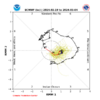
Even out past the the middle of March, tropical forcing looks to be stuck over the W Hem + Eastern Indian Ocean (Phase 2), which very strongly favors eastern US troughing/+PNA/-NAO. Spring is being put on hold this year.


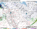
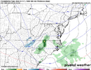
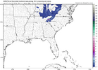
Capture2.JPG

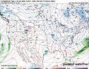
Capture.JPG
 
I will definitely enjoy Spring and Summer! I love to Fish, Golf, And just Being outdoors enjoying life. Kinda of hard to do those things when there's snow on the ground and Freezing Cold! I've never really understood people in the South Loving Cold and Snow?? It really makes no sense, that's what the North is made for. I think most in here forgets where they are

Sent from my SM-S911U using Tapatalk
We enjoy it because it’s one of the most beautiful things that nature produces. It doesn’t happen often in the south, hence the reason so many people obsess and hope for it during the short few months we have to actually score a decent snow. The fact that we don’t get much is what makes it so much more enjoyable than if we got it all the time like they do up north. It usually melts within 3 days so it’s hardly a nuisance compared to say flooding or tornadoes and hurricanes.
 
IMO, there's been a huge step forward today in avoidance of can kicking the long range pattern. If anything the 12z models have sped up the arrival of it.

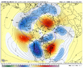
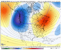
All three Ensembles, CMC/GFS/EURO, have our wintry pattern set up with cold anomalies moving in around the 330hr range which is roughly February 14th.

Our excellent window to score something still looks on track to be Feb 15-20th. Beyond that still looks great too, but it's just nice to see the long advertised great pattern get a little closer and in better view.

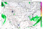
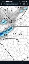
It’s the GFS ofcourse, but it wasn’t far from getting it rolling just beyond the ten day range(~260hrs or so).
 
You can't lump Western NC and Eastern NC together. It's like 2 totally different climates. If it was broken out, the mountains and foothills would need their own thread. Not disrespecting our Western NC friends but that's how it is.
Bama shouldn't be in a different one than Miss and Tenn.
 
Back
Top