Brent
Member
83 in Tulsa today... Broke the record high from 1996
I’ve been getting those vibes as well for some reason, but it looks like our airmass outside of the mountains is a tad warmer. We’d need some real strong convective action to cool the column quickly. That being said, I was outside shooting basketball when that line of graupel came through in 2013. Temp dropped from the low to mid 40s into the mid 30s almost instantly, and accumulation was also instantaneous. It’s something I’d love to experience again.Could this be like a Feb 2013? IK that was snow, but that was also a radnom Deathband i thought. Although it couldve been a ULL too i dont remember
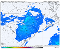
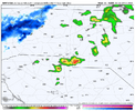
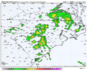
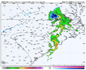
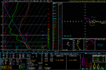
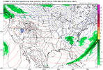
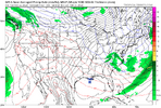
FR! Y’all just giving up on life and about to score!Somebody is going to pick up an accumulation of soft hail/graupel this Saturday and maybe even normal hail. Very steep mid level lapse rates along with 100+ jkg of 3CAPE, very cold air aloft, and a nice cape profile for an otherwise lowered troposphere. It’s interesting as well because Hodographs here are supportive of hail sustainability but this isn’t your typical big hail setup thermodynamically View attachment 146834View attachment 146835View attachment 146836View attachment 146837View attachment 146838
Yea, When it started that day it was like an afternoon storm in July it ripped for about 30-1hr and then it was gone we got 1-2" in Kannapolis at the timeI’ve been getting those vibes as well for some reason, but it looks like our airmass outside of the mountains is a tad warmer. We’d need some real strong convective action to cool the column quickly. That being said, I was outside shooting basketball when that line of graupel came through in 2013. Temp dropped from the low to mid 40s into the mid 30s almost instantly, and accumulation was also instantaneous. It’s something I’d love to experience again.
Snow accumulating in Boone ncSnow showers coming down on top of Cataloochee. Also snowing in Maggie Valley as well.
Really nice snow in Banner ElkSnow accumulating in Boone nc
Couple of inches up on Beech today too!Really nice snow in Banner Elk
Yeah, Banner Elk is nice (foot of Beech Mountain). It's a little higher elevation than Boone and many times that really helps.Really nice snow in Banner Elk
Can confirm lots of snow in high elevations today.
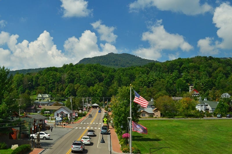
Yeah it was sunny and in the mid 50s going through Marion this afternoon. Snowing and in the mid 30s once we got up to the parkway on 226. Didn’t see accumulation until we were above 4,000 feet or so. Was 24 degrees when we parked up at Carvers Gap. We hiked a wooded part of the trail today, so it provided some protection from the wind. The bald on the other side of the road would’ve been brutal I’m sure.Yes this was your typical “rich get richer” event. It was a different world up on Grandfather this morning. Winds were insane. We had to get out of there quick. When we started down the mountain and got into Ashford it was partly cloudy and when you turned around and looked up into the mountains you could see the clouds were stuck and wringing out.
Can confirm lots of snow in high elevations today.
We rode up that way yesterday we have a family cemetery off 221 in crossnore it was ripping snow hard between 930-11am.Yes this was your typical “rich get richer” event. It was a different world up on Grandfather this morning. Winds were insane. We had to get out of there quick. When we started down the mountain and got into Ashford it was partly cloudy and when you turned around and looked up into the mountains you could see the clouds were stuck and wringing out.
It skipped right over your yard! TheThat line meant business. We got a gust to at least 60mph here and a 58 MPH gust was measured southwest of Union.
Why does my NWS point and click forecast have rain and snow for tomorrow morning?
Yes the front of that line was violent yesterday. Maybe a sign of things to come this springThat line meant business. We got a gust to at least 60mph here and a 58 MPH gust was measured southwest of Union.
All time records shattered here for warmth! Days and the month as a whole! This winter has sucked! I should have 2 more months of snow opportunities, but 50s and 60s as far as eyes can see! If it isn’t gonna snow in February, why would it snow in March and April!Good riddance to one of if not the warmest February's Tulsa has ever seen
Have you considered moving further north, perhaps to International Falls ?All time records shattered here for warmth! Days and the month as a whole! This winter has sucked! I should have 2 more months of snow opportunities, but 50s and 60s as far as eyes can see! If it isn’t gonna snow in February, why would it snow in March and April!
All time records shattered here for warmth! Days and the month as a whole! This winter has sucked! I should have 2 more months of snow opportunities, but 50s and 60s as far as eyes can see! If it isn’t gonna snow in February, why would it snow in March and April!
They’ve had less snow than me this winterHave you considered moving further north, perhaps to International Falls ?
Yeah I want a refund on this whole winter tbh. I just don't know what to say about it anymore. In any other year February would have made the winter but apparently not and it's just the final straw on this pathetic excuse of a winter. Like we're supposed to do better than have a week of cold here
