-
Hello, please take a minute to check out our awesome content, contributed by the wonderful members of our community. We hope you'll add your own thoughts and opinions by making a free account!
You are using an out of date browser. It may not display this or other websites correctly.
You should upgrade or use an alternative browser.
You should upgrade or use an alternative browser.
Pattern February 2024
- Thread starter SD
- Start date
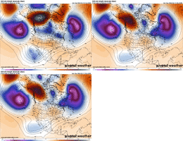
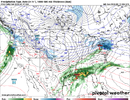
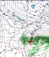
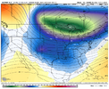
It’s also dropping a big 1041mb High into the DakotasICON is moving out the clutter faster this run. Big +PNA ridge. View attachment 146116
TNweathergurl62
Member
Hope you all get some good Snow! we got ours in TN. in January. Ready to start flowers here! Take it easy and know Tennessee it rooting for you! 


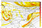
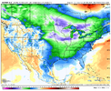
If it went forward from here, I actually think that it would try to develop a low on the tail end of the front down in the western GOM.ICON though has cold chasing moisture this run.View attachment 146118
Cary_Snow95
Member
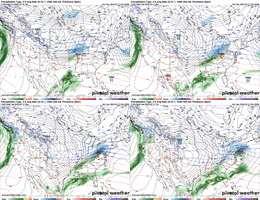
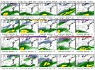
The 12z euro buried Boston with 24”lil tiny bit of model disagreement on this first storm starting tomorrow…View attachment 146120View attachment 146121
accu35
Member
Gfs looks different
accu35
Member
Cary_Snow95
Member
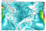
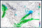
Gfs doesn’t know that’s the problemView attachment 146123
What’s going on?
WolfpackHomer91
Member
View attachment 146123
What’s going on?
May not matter but HP over NE/KS border was 1023 last run it’s 1035 now … meh let’s see
Sent from my iPhone using Tapatalk
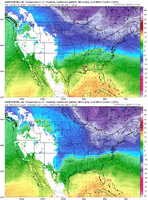
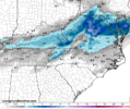
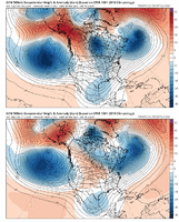
Surface temps not great but that was a good jump in the right direction!850’s responded but the surface is a weenie roast in SC. Looks weird View attachment 146124
LukeBarrette
im north of 90% of people on here so yeah
Meteorology Student
Member
2024 Supporter
2017-2023 Supporter
When we get the cold it’s suppression when we don’t it’s warm rain. Just rough out here.
WolfpackHomer91
Member
GFS atleast on the surface has the LP off FLA Panhandle and CLT for example at 39 degrees hr 171….. HOWEVER compared to past 24hr of runs every run had that same temp 47-52 degrees for that exact frame, so maybe a baby step
Sent from my iPhone using Tapatalk
Sent from my iPhone using Tapatalk
accu35
Member
Couple more good jumps would put us back
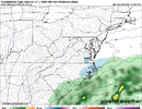
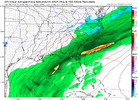
This modeled radar look is starting to get weird
Just keep sharpening out west is about all you can do to get the “cold” and would also help with any trailing waves if there is one
Just keep sharpening out west is about all you can do to get the “cold” and would also help with any trailing waves if there is one
Metwannabe tulips are safe this run
WolfpackHomer91
Member
When we get the cold it’s suppression when we don’t it’s warm rain. Just rough out here.
True, but I’d rather have the cold being shown and have to chase the Liquid than vice versa
Sent from my iPhone using Tapatalk
Canadian deepens to 990 next frame. Be a monster hit with a little help with cold. We in good shape 7 days out. Hopefully euro suite holds serve
Stormlover
Member
This much change in 1 run.


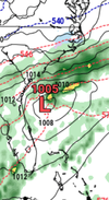
Yeah temps were only off a few degrees if it had harder precip many more would’ve definitely been in business there. Also was a 10-15 degrees difference from last run for much of us so a little more of that and we’d start seeing some weenie runsIt’s not nothing. Actually that was painfully close as it tried to go neutral View attachment 146130
GoDuke
Member
NBAcentel
Member
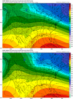
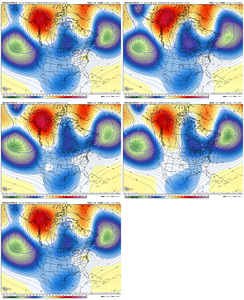
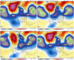
Euro looks like this now. RipFrom what I can tell from the college of dupages website a lot of the members looked like the end of the ICON. But I’m kinda limited on what I can see. Maybe others who can see the full 30 members and h5 look can weigh in on what steered this runView attachment 146140View attachment 146139
NBAcentel
Member
Cad Wedge NC
Member
That looks very cold even on the east side of the Apps.
NBAcentel
Member
LickWx
Member
Those mountains strike once again. Looks chilly still
I can see this continuing to trend colder.Overnight model blues strike again. Wake up to read flat energy again. Morning GFS not to bad though. View attachment 146153
NBAcentel
Member
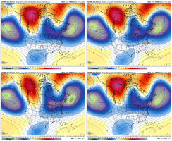
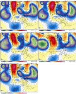
All morning guidance coming in looking different, 06z EPS/euro has far more western ridging as well
NBAcentel
Member

