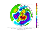
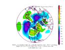
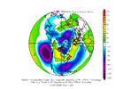
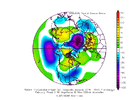
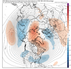
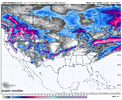
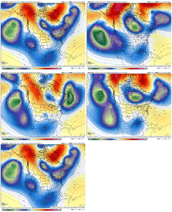
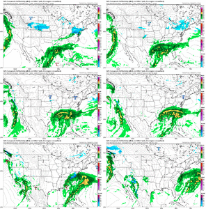
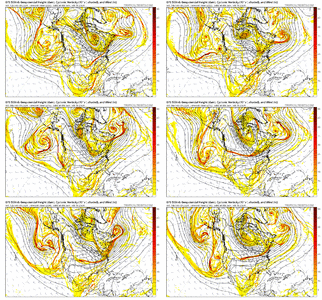
Losing the -EPO would be a killer.He did. The end of the road is in sight for the favorable pattern with some of the teleconnections flipping the wrong way by the end of the month.
-
Hello, please take a minute to check out our awesome content, contributed by the wonderful members of our community. We hope you'll add your own thoughts and opinions by making a free account!
You are using an out of date browser. It may not display this or other websites correctly.
You should upgrade or use an alternative browser.
You should upgrade or use an alternative browser.
Pattern February 2024
- Thread starter SD
- Start date
Well we went from 2 members to 5 members so you’re saying there’s a chance ?
I’m just keeping an eye for fun. It’s been so bad for my backyard since December of 2017 and we had been getting spoiled with at least one solid event a winter for many years. This is by far the longest drought we’ve had that I can remember but thankfully we live close to the mountains.
Maybe we can keep trending in the right direction. I’m like many of you on here, I’ll hold on until it’s peak severe season.
SnowNiner
Member
DT getting pessimistic, his reasoning is fair
Yeah, this ok pattern to me seems to be 100% Atlantic driven imo . Pacific frankly still sucks to me. Trough hangs out near the west coast not the Aleutians (as always), and is almost zonal flow across the US. We get a quick Alaskan Ridge but it's in and out like a McDonald's drive through. MJO again refuses to get to phase 8. Pacific just won't work for us. Hopefully it changes, but why?
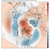
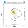
The long-range (late February/March) pattern forecasts are likely to be especially uncertain given the growing likelihood of a long-lasting SSWE.


NBAcentel
Member
iGRXY
Member
MJO definitely looks to be going into Phase 8. We don't need the Pacific to be the biggest player here. You spike a +PNA and we will be cold and dry with everything being situated along the gulf and east coast. the Atlantic being the biggest player with even a neutral to slightly +PNA and -EPO is more than enough for us to score.Yeah, this ok pattern to me seems to be 100% Atlantic driven imo . Pacific frankly still sucks to me. Trough hangs out near the west coast not the Aleutians (as always), and is almost zonal flow across the US. We get a quick Alaskan Ridge but it's in and out like a McDonald's drive through. MJO again refuses to get to phase 8. Pacific just won't work for us. Hopefully it changes, but why?
View attachment 145918
View attachment 145924
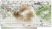
Thank you for pointing this out. It’s been mentioned numerous times this winter that the RMM charts are just not accurate on the MJO progression this year. This definitely shows it going to phase 8VP charts look like phase 8, with weak rising nosing into Africa View attachment 145926
- Joined
- Jan 23, 2021
- Messages
- 4,602
- Reaction score
- 15,197
- Location
- Lebanon Township, Durham County NC
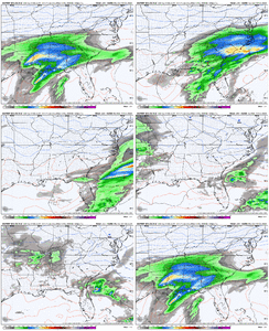
consider me underwhelmed? expected like 30% more output based on the op runI would take my half inch, order a pizza, and head off into Spring with a smile on my face. View attachment 145914
Forevertothee
Member
Exactly. And do we really want to be in the bullseye this many days out? Nope. At least it appears we have something legit to track soon. And it appeared there was more energy on it's heels with temps supportive of some fun.Just needed a little bit more northern stream press and that would have been big.
View attachment 145934
Pilotwx
Member
Yep, when you start to hear key words and phrases like " we will have to wait and see, we dont know yet, possible, and this is not a forecast, which all are true , but it is a sign that we are trying to be let down easy.
Lilj4425
Member
So this is where everybody is. Hello.  Hopefully I bring the good mojo. Weird not having a dancing blue turd as my avatar. lol.
WolfpackHomer91
Member
Yall buckle up, I am not the best in here but it looks good to me........NC CAD zones that is
packfan98
Moderator
I thought so too, but it never flips those outside the foothills over unfortunately.Yall buckle up, I am not the best in here but it looks good to me........NC CAD zones that is
WolfpackHomer91
Member
yea definitely on surface maps CAD regions and VA onlyI thought so too, but it never flips those outside the foothills over unfortunately.
Not that it matters on an op GFS run 216 hours out, but the soundings are extremely close on that for basically west of Hwy 1
wow
Member
Almost get the phase in with the polar s/w that really ramped it up on yesterday's 12z run.. Still, the setup is primed.
NBAcentel
Member
Cad Wedge NC
Member
Welcome buddy. Glad to see you over here.So this is where everybody is. Hello.Hopefully I bring the good mojo. Weird not having a dancing blue turd as my avatar. lol.
accu35
Member
Models are definitely set on a wave
L
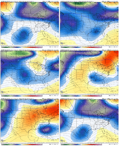
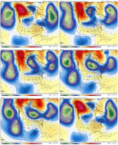
you can already see the trend though. The cold just isn’t gonna get here in time. A real shame cause that was a perfect storm track.Keeping the same general look, that’s all that matters, still a 50/50 and southern stream wave in place, each run fluctuating but keeping those features View attachment 145938
NBAcentel
Member
I don’t see any trends per that H5 map… I just see lots of bouncing around of the longwave patternL
you can already see the trend though. The cold just isn’t gonna get here in time. A real shame cause that was a perfect storm track.
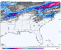
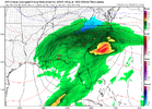
Yeah, that's about as fantastic as you draw it up minus the actual snowstorm. Perfect look almostWhat a freaking classic "radar"View attachment 145939
What would you say the chances are honestly of everything lining up? We know the storm is gonna be there pretty much. So what are the chances of the cold?I don’t see any trends per that H5 map… I just see lots of bouncing around of the longwave pattern
There are absolutely no trends saying that 8-9 days out. The H5 map still looks good and all of the pieces are still there. Details will not be ironed out for a few more daysL
you can already see the trend though. The cold just isn’t gonna get here in time. A real shame cause that was a perfect storm track.
NBAcentel
Member
Lining something up in the SE is always a difficult task. We at least have something to trackWhat would you say the chances are honestly of everything lining up? We know the storm is gonna be there pretty much. So what are the chances of the cold?
Cad Wedge NC
Member
What trend are looking at???L
you can already see the trend though. The cold just isn’t gonna get here in time. A real shame cause that was a perfect storm track.
You got to keep emotional swings per model runs in check. You are speaking in way to many absolutes. Today is the 9th, the storm is days ahead of us. There is no “was”. Maybe on that run, but pay attention to the players on the field, not just surface value things the models are showing.L
you can already see the trend though. The cold just isn’t gonna get here in time. A real shame cause that was a perfect storm track.
NBAcentel
Member
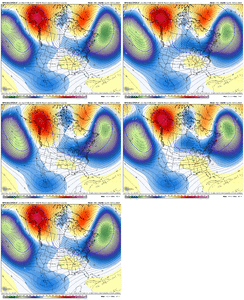
Even the ens itselfThe models are remarkably consistent on the southern stream wave across the suites and r2r but everything else is chaos
View attachment 145940
WolfpackHomer91
Member
AGAIN , a "TREND" is 4-5 runs in a row of something being CONSISTENT in that same solution. GOOD or BAD. This thing has no trends at all good or bad, it has shown about 3 different solutions in last 5 cycles.
Look at it this way - for more than 90% of the days of the year the chances for accumulating snow for the locations occupied by those in this forum are 0%. We are tracking one of those 10% of days when the chances are greater than 0%.What would you say the chances are honestly of everything lining up? We know the storm is gonna be there pretty much. So what are the chances of the cold?
Of those 10% of days, probably only 1-2% actually work out, and it's been 0% the past couple years. There's nothing more that can definitively be said at this point.
At this range, even if every model showed a blizzard it wouldn't increase my confidence any further because I would know major changes are going to happen and that blizzard could easily go poof in the next run, come back several days later, or remain gone forever in the amount of time left before verification. This is a tough hobby, but perspective and realistic expectations help.
This was probably easier a few days ago when the trough was further west and the ridge was going up the entire WC into AK/NWT. Now with the undercutting and closing of that ridge and energy interaction between the WC trough and the polar energy coming I'd suspect we keep getting these wild r2r changes through the weekend at least. I'd think by the 0z Monday run the pattern along the WC and western Canada should be pretty settled so we can get a better picture across the conusEven the ens itself View attachment 145941

