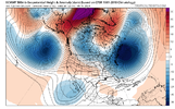
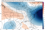
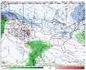
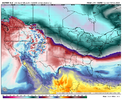
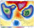
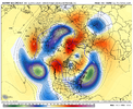
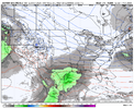
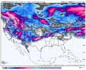
i was half joking, but i've never been a fan of the "ULL rolls in and creates a wound-up, tight LLC on the coast" flavor of fantasy storms. They don't have a lot of run to run durability and i generally think of them as paper tigers. i would consider the preceding overrunning event (too warm this run) to yield a lot more potential because of how much more realistic it is. to use basketball terminology it is a higher percentage shot.Are you seeing something that lends to it moving flatter?
-
Hello, please take a minute to check out our awesome content, contributed by the wonderful members of our community. We hope you'll add your own thoughts and opinions by making a free account!
You are using an out of date browser. It may not display this or other websites correctly.
You should upgrade or use an alternative browser.
You should upgrade or use an alternative browser.
Pattern February 2024
- Thread starter SD
- Start date
Brent
Member
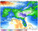
Seems like this is trending better and better for you all. Seems like two days ago this wasn't really that big of a deal. Trending in the right direction at the right timeframe! Pulling for yall!This would be something after the way this winter has gone here that's for sure View attachment 145721
Stormsfury
Member
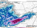
i was half joking, but i've never been a fan of the "ULL rolls in and creates a wound-up, tight LLC on the coast" flavor of fantasy storms. They don't have a lot of run to run durability and i generally think of them as paper tigers. i would consider the preceding overrunning event (too warm this run) to yield a lot more potential because of how much more realistic it is. to use basketball terminology it is a higher percentage shot.
From a meteorological standpoint, these situations hardly work, even when the prevailing seasonal trends have had a series of bombing lows throughout the winter.
From a purely Murphys Law standpoint, I'm slated to go to Greenville, SC to see Disturbed on Feb 20th, so with my luck, this feels like the one time something like this will work in favor for a big winter storm on the very one day I don't want it to happen.
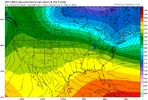
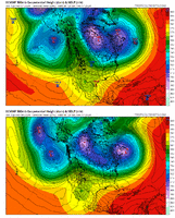
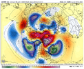
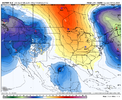
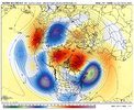
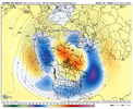
Through 156hrs the Euro is way more like the CMC/ICON. The GFS is still completely alone with the big low off the NW and it’s not really close.
Edit: then again by 168hrs they are now much closer on the west, far apart in the east.
Edit: then again by 168hrs they are now much closer on the west, far apart in the east.
- Joined
- Jan 23, 2021
- Messages
- 4,602
- Reaction score
- 15,197
- Location
- Lebanon Township, Durham County NC
euro tried to give NC some clipper snow
Cary_Snow95
Member
Black hole good but not seeing a lot of high pressure behind it. We’ll see where it goes
The shortwave over IA is going to refresh the cold on the euro as long as it beats the southern wave the euro should look good at D10
coldfront22
Member
Good or Bad Uh Oh?
Don’t think it’s gonna work for us in the west.
I don’t like that change out west regardless where this ends up. But I’m nitpicking a long range (sort of?) model runGood or Bad Uh Oh?
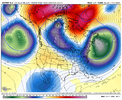
That's not a split. That's a divorce.


Yeah we want no part of that trough dropping into W Canada. Gotta keep it clean up thru there
wow
Member
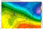
Euro looks good verbatim as long as the s/w doesn't get squashed by the powerful 50/50 ULL. It's just slower.


narrow path of cross polar flow?Euro looks good verbatim as long as the s/w doesn't get squashed

It would go on to look very good if the one continued for sure. Looks like cold air was dropping down.Euro looks good verbatim as long as the s/w doesn't get squashed

Forevertothee
Member
I think that looks like there's good potential. Moisture in Texas. 540 Line hanging out already in parts of NC. That 1034 H I would assume would slide West to East and provide a nice feed of cold into the area?
Still the end result would have probably been a significant winter storm for the Carolinas and northern GA. Like you said though, it’s an op run toward the end of its range so you can expect some differences. I think the one thing it showed is that anyone worried about suppression based on the GEFS shouldn’t.I'm not a fan of this 24-hour change. Just an OP doing what OPs do and all those caveats.
View attachment 145727
NBAcentel
Member
textbook. Still can’t help abut worry about the pacific. We were in this same boat back in January and the pacific didn’t want to cooperate while the Atlantic side was checking all the boxes. That 50/50 was churning though. Stuck where we want it
IMO the bigger issue In January was the configuration of the TPV. The Pacific wasn’t horrible at the time and it was certainly in position where east of the mountains has scored before with a jammed up Atlantic.Maybe it’s ok if the pacific goes to ? but we need it to hang back like @SD said. We need to give our high just enough time to build in before the west coast breaks down.
Last edited:
- Joined
- Jan 23, 2021
- Messages
- 4,602
- Reaction score
- 15,197
- Location
- Lebanon Township, Durham County NC
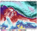
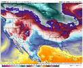
We don't know if this cold is blocked in for the next 48hrs following though really do we? Hopefully not retreating out. More worried about that than suppressed. Otherwise that has PD storm written all over it.This looks pretty good. plenty cold!
View attachment 145743
- Joined
- Jan 23, 2021
- Messages
- 4,602
- Reaction score
- 15,197
- Location
- Lebanon Township, Durham County NC
It would seem the EPS is in the suppression camp, which I am absolutely good with right now
With gfs showing amped. yesIt would seem the EPS is in the suppression camp, which I am absolutely good with right now
NBAcentel
Member
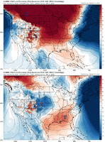
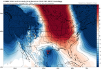
Funny what happens to surface temperature anomalies in mid-late February when precipitation falls into a relatively dry air mass. This is met 101 stuff.
You get the large scale details right, this stuff falls into place. I would know, I've had pie on my own face a couple times betting against snow due to boundary layer warmth in..... March.

You get the large scale details right, this stuff falls into place. I would know, I've had pie on my own face a couple times betting against snow due to boundary layer warmth in..... March.
