-
Hello, please take a minute to check out our awesome content, contributed by the wonderful members of our community. We hope you'll add your own thoughts and opinions by making a free account!
You are using an out of date browser. It may not display this or other websites correctly.
You should upgrade or use an alternative browser.
You should upgrade or use an alternative browser.
Pattern February 2024
- Thread starter SD
- Start date
NBAcentel
Member
Stormlover
Member
Could be some severe potential with that cutter around the 12th at first glance. Beefy looking shortwave going negative tilt with a flood of gulf air ahead of it.
Forevertothee
Member
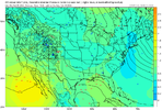
HR 318 looks like 540 line established in NC with system in Texas and gulf coast looking promising. May be about to get a fantasy hit?
Forevertothee
Member
Yep. Incoming. Snow in MS and ALHR 318 looks like 540 line established in NC with system in Texas and gulf coast looking promising. May be about to get a fantasy hit?

Pattern loaded. It was a mess here but GEFS has been signaling some sort of gulf event for a few days now around this timeframeHR 318 looks like 540 line established in NC with system in Texas and gulf coast looking promising. May be about to get a fantasy hit?
Forevertothee
Member
Forevertothee
Member
SnowwxAtl
Member
I think that’s false. The radar shows it as all rain.About to go I-20 East Now!
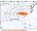
View attachment 145169
Forevertothee
Member
Still
 going.

rburrel2
Member
The 00z GFS is basically a dream scenario for CAD regions of GA/SC. The ole 48 hour winter storm.
Edit: This run is gonna earn a spot in the all-time fantasy snows for mby. Whew.
Edit: This run is gonna earn a spot in the all-time fantasy snows for mby. Whew.
NBAcentel
Member
Nope. He declared it over. There’s no coming back
Forevertothee
Member
Still going 2/20/24


rburrel2
Member
Scratch the 48 hr storm... we're going on 60 hours and counting...
Now that's the Old Goofy we all remember.


Forevertothee
Member
You and me both.The 00z GFS is basically a dream scenario for CAD regions of GA/SC. The ole 48 hour winter storm.
Edit: This run is gonna earn a spot in the all-time fantasy snows for mby. Whew.
NBAcentel
Member
SnowwxAtl
Member
Yeah, I know...I was joking!I think that’s false. The radar shows it as all rain.
rburrel2
Member
With that 1050 locked in, and this incoming, it may go for the record.


accu35
Member
Looks like another round to the west coming at 384
Man that high pressure in eastern Canada on the GFS is bonkers. Wow
Better get sleep this week. Looking like long track winter storm coming up by 2/18-2/22. Cant ask for a better progression. If somebody in the southeast doesnt get a big storm in next few weeks it would be incredibly unlucky. All ensembles hinting at this time period.
Sent from my SM-A236U using Tapatalk
Sent from my SM-A236U using Tapatalk
NBAcentel
Member
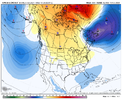
#FlowJam2024Super 50/50 low View attachment 145180
NBAcentel
Member
SnowwxAtl
Member
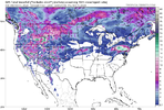
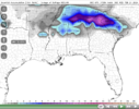
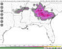
Do you have sleet accumulation map?Solid fantasy run. Some nice hits on some of the individual ensembles as well.
View attachment 145176
View attachment 145178
NBAcentel
Member
NBAcentel
Member
NBAcentel
Member
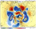
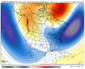
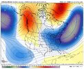
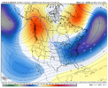
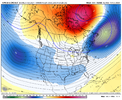
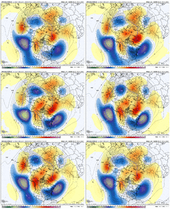
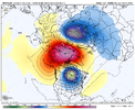
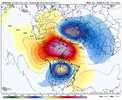
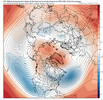
I’m up with the runs and ----- so I might as well bring the heat, the GFS completely splits the strat PV View attachment 145189View attachment 145190
This explains the fantasy. Finally some optimism for me to feel with this idea!
Where does the pv lobe exactly setup shop after the split? Million dollar question

