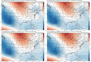
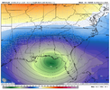
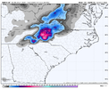
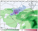
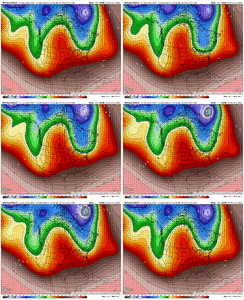
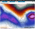
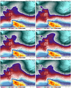
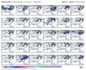
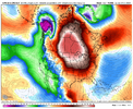
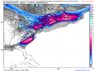
GFS is staying warm as the low treks west to east to Jacksonville
-
Hello, please take a minute to check out our awesome content, contributed by the wonderful members of our community. We hope you'll add your own thoughts and opinions by making a free account!
You are using an out of date browser. It may not display this or other websites correctly.
You should upgrade or use an alternative browser.
You should upgrade or use an alternative browser.
Pattern February 2024
- Thread starter SD
- Start date
I hope this run was a blip. Otherwise, we'll be watching yet another perfect track Miller A Rainstorm.


That’s the eternal struggle in this setup - the cold air and storm are trying to meet head on over the southeast.That was an atrocious run. One more jump like that and we might be talking about severeWX ?
lexxnchloe
Member
Im not an expert but with the cold going NE to SW and the low coming from the SW its going to be hard to get a winter storm.I hope this run was a blip. Otherwise, we'll be watching yet another perfect track Miller A Rainstorm.

The TPV over NE Canada existing stage right early on was the death knell. One run. The ICON flipped the other way, and we're still a week out so hopefully, we can reel this one back in.Having the system get really strong in Oklahoma/Texas is what kills us. We just need it to move east and then get stronger
LOTS of changes with that GFS run. Much more interested to see how the GEFS looksThe TPV over NE Canada existing stage right early on was the death knell. One run. The ICON flipped the other way, and we're still a week out so hopefully, we can reel this one back in.
LukeBarrette
im north of 90% of people on here so yeah
Meteorology Student
Member
2024 Supporter
2017-2023 Supporter
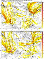
I mean you’re not wrong but that’s only snow for me and western NC. I want others to win hereWouldn’t say that watch the wave entering SE Canada starting to retrograde under the block View attachment 143974
Soundings looked fine for much of nc and northern sc for sleet or snow
NBAcentel
Member
Blue_Ridge_Escarpment
Member
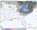
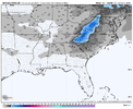
That 14.8 is directly over mi casaCMC absolutely nukes the foothills/western Piedmont View attachment 143979View attachment 143980
Big Frosty and CAD wedge specialCMC absolutely nukes the foothills/western Piedmont View attachment 143979View attachment 143980
Anyone still worried about suppresion lol. 50/50 is the key piece that controls our fate
NBAcentel
Member
CMC is slowly becoming the best option because it moves the cold feed/confluence to our NE just right before the storm, the GFS is losing our confluence as the storm is approaching and we lose any injection. the CMC is the model imo that’s close to something bigger, if the energy on the CMC entering SE can was more wound up or expansive as the storm was moving in, would have been a bigger run for more
It's an unusual setup. An atypical NE flow that depends on an NE system of sufficient strength and orientation and a southern LP to tap that flow simultaneously. Not the usual 1040HP over-locked in over the NE US that brings the usual CAD.Im not an expert but with the cold going NE to SW and the low coming from the SW its going to be hard to get a winter storm.
Let's see what the ensembles look like before letting one disappointing deterministic run for next week before cliff diving.
NBAcentel
Member
Deja Vu


Where did the cold air injection go? It’s been showing for how many runs now and suddenly gone? Do you buy it?GFS and CMC both moved more toward a slow moving, wound up bowling ball which would lead to big potential precip wise. This makes sense given the strong El Nino with charged up subtropical jet stream via the recent Pac Jet extension...just need the cold air injection to play ball.
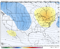
View attachment 143989
Just think we gotta sit tight and see how things trend. 6-7 days away is an eternity with model watching. We have a shot / all we can say right nowWhere did the cold air injection go? It’s been showing for how many runs now and suddenly gone? Do you buy it?
SnowwxAtl
Member
Nope, I don't buy it. I Think it was just a bad run. Will be back 6z GFS.Where did the cold air injection go? It’s been showing for how many runs now and suddenly gone? Do you buy it?
NBAcentel
Member
rburrel2
Member
over half the ensemble members were too suppressed for a storm at 18z, this may not be a bad thing on this run, (except the trend may continue).Not great early on
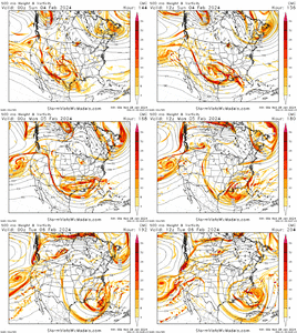
View attachment 143985
Stormsfury
Member
From bundled to a positively tilted trough. The difference is a surface low that was depicted 992-995mb, to a 1005mb being kicked east fast...Looks like our northern piece of the puzzle dropped in really flat that run? I don’t even know what that was or whyView attachment 143981
NBAcentel
Member
Gefs bullseying the upstate/western NC this run
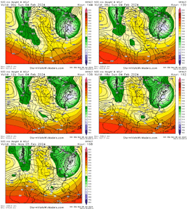
UKMet was colder with the NE low hanging in there, but not as strong with the southern stream wave. The winning ticket is a strong, slow-moving, bowling ball upper low sliding west to east across the deep south with the NE Low / 50-50 low either hanging in there and sending cold air south or partially phasing some of that NE Low into the southern bowling ball
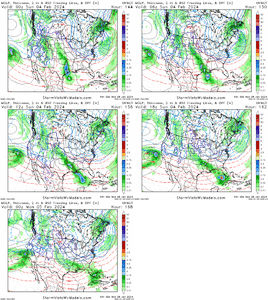
NBAcentel
Member
NBAcentel
Member
iGRXY
Member
Would it be a winter storm potential if we didn’t get the inevitable day 7 model screw up to happen? This feels like home right now lol
iGRXY
Member
Still a big signal on the GEFS and CMCE. Right now I think this turns to the inevitable I85 north and west cutoff. Now whether that is a cutoff from snow and rain or snow and ice or ice and rain, Idk yet. But I think everyone along and north and west of 85 should be cautiously optimistic. Emphasis should on cautiously
iGRXY
Member
Honestly there’s multiple hits on there and not just from big dogs either.Skewed by a couple of hits. But those couple of hits are massive. High ceiling on this one for sure View attachment 144003
Although the mean still looks good, the total members with snow south of VA dropped from 9 to 5CMC ens looks really good for NC.. wow View attachment 144000
NBAcentel
Member
Yep just saw that, dangAlthough the mean still looks good, the total members with snow south of VA dropped from 9 to 5
ugh it would really suck to waste a tailor made southern stream ULL hammer like this.
if you want some copium- i thought the delta on the GEFS was rather strange- check out how the entire wave train- not just our features, everything- lurches east at 114 hr.
fair reason to believe this run from the american camp is a dud and see what the 6z and 12z can offer. or maybe it's sniffing something out.
