• Hello, please take a minute to check out our awesome content, contributed by the wonderful members of our community. We hope you'll add your own thoughts and opinions by making a free account!

Pattern February 2024

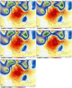
You can also see the 18z GEFS is quickly evolving into a big -NAO after Feb 5.

All that westerly momentum in the Pacific Jet that’s creating the mild pattern initially gets used up by large southward-shifted cyclonic wave breaks in/around N America. That process will kickstart a -NAO.

Remember that the -NAO actually is associated with an equatorward shifted storm track in/around N America and N Atlantic. We’re doing just that later in week 2 and even more so into week 3
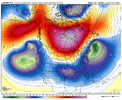
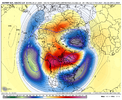
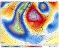
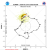
Exhibit A
299cfdd414c5da848ec3b8f4db1bd467.gif


Sent from my SM-A136U1 using Tapatalk
 
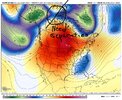
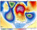
Just an absurd omega block that looks like it could be a real pain to shake....which is typical.

View attachment 143080
Rossby wave train printer go brrr. That’s Gonna seed into the upcoming -NAO. But that’s a cool ass omega block. Looks like what we had all of last May/June which completely ruined Memorial Day last year with cold air damming
 
Rossby wave train printer go brrr. That’s Gonna seed into the upcoming -NAO. But that’s a cool ass omega block. Looks like what we had all of last May/June which completely ruined Memorial Day last year with cold air damming
Like I said before, all this talk about a torch .. we would figure out a way to go right into a CAD pattern. Raised heights over the NE and Canada, Lower heights over the Northern Atlantic. Get ready for lots of upper 30's and lower 40 cloudy and misty days.
 
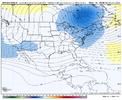
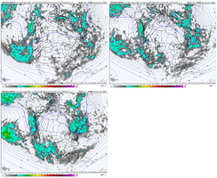
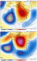
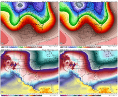
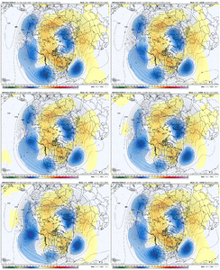
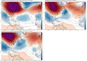
Bet the initial process goes warm this week, then next week we prob get some damming days as we lose connection to the subtropics, but warm days mixed in, then things get more seasonal as the subtropical jet starts to undercut the Canadian ridging and the longwave pattern becomes -tilt out west so we lose connection to any subtropical ridging, we get a plethora of -NAMT which slows down the Atlantic jet, the lower heights in the Atlantic encourage a ATR, and with each southern stream wave that undercuts and breaks, it goes into the development of a -NAO. I’m more confident on that. I think what’s more questionable is the pacific. Do we stay extended for a while ? Or do we retrograde the GOAK low to the Aleutian Islands. On ensembles, it backs up as the undercutting begins, but to me that’s tbd 38C9F921-99BB-41D3-93BB-58EC6C199318.png19A545E0-81FD-462A-8EE8-A25CED460EB5.png11B5CE53-BC41-49CB-9954-B744A004EF1D.png
 
Bet the initial process goes warm this week, then next week we prob get some damming days as we lose connection to the subtropics, but warm days mixed in, then things get more seasonal as the subtropical jet starts to undercut the Canadian ridging and the longwave pattern becomes -tilt out west so we lose connection to any subtropical ridging, we get a plethora of -NAMT which slows down the Atlantic jet, the lower heights in the Atlantic encourage a ATR, and with each southern stream wave that undercuts and breaks, it goes into the development of a -NAO. I’m more confident on that. I think what’s more questionable is the pacific. Do we stay extended for a while ? Or do we retrograde the GOAK low to the Aleutian Islands. On ensembles, it backs up as the undercutting begins, but to me that’s tbd View attachment 143083View attachment 143084View attachment 143085
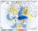
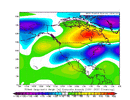
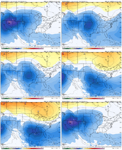
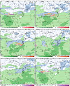
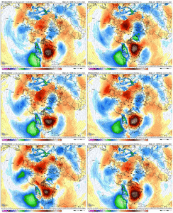
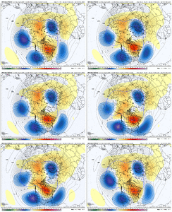
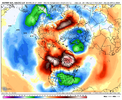
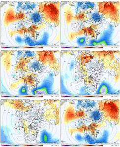
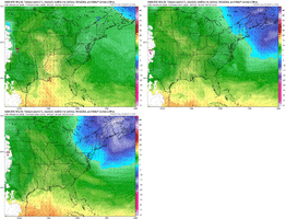
Definitely cautious with the longer range ensembles because I think they have just been to fast with everything pattern wise, but they basically do what I expect overall. The big ridge in Canada eventually becomes a -NAO as wavebreaking occurs, the pac trough backs up to the Aleutian Islands. 6D7C5C41-AE7A-447E-9709-F6BC5F90E21B.gif2E9FCF6E-7E9B-4319-B843-B8975069A2BA.gif
 
sometime in February is probably gonna have a KU look/pattern. Just too common with Feb ninos. Question is do we score or does the mid Atlantic score off that
Yeah my concern is the winning being to our north but it's easy to envision a pattern toward mid Feb that could push snow well well south and suppression be a concern for some of us
 
Definitely cautious with the longer range ensembles because I think they have just been to fast with everything pattern wise, but they basically do what I expect overall. The big ridge in Canada eventually becomes a -NAO as wavebreaking occurs, the pac trough backs up to the Aleutian Islands. View attachment 143086View attachment 143087
Just wanted to compliment you on your ability to recognize patterns at every level,
Esp the 500 level.
Your understanding and ability to read models is off the charts.
You've done it consistently so long at such a young age,
You actually have a wisdom to the progressions and setups.
You're a huge asset here.
I hope your getting your meteorology degree.
If not,
It should be thought about in a serious manner.
It appears to some of us lurkers that this is your calling.
Thank you for being here.
This is a sincere post.

??
 
Last edited:
Back
Top