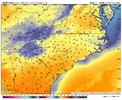
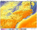
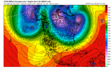
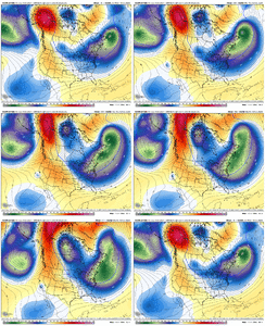
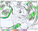
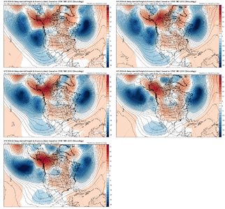
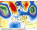
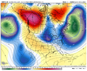
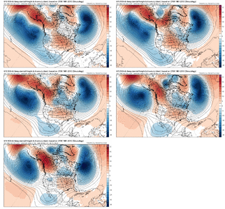
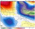
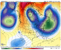
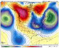
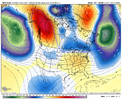
Yeah the storm of interest is just the tip of the ice burg and an intro to a good, long pattern. I’d imagine with this look the “where the cold at” posters do have a valid reason, storm track verbatim here is good but cold delivery could maybe be a issue after the storm of interest until we get renewed western ridging, but I’d take that look still anytime with a suppressed height fieldThis is a decent look here at the end of the EPS run after our storm of interest. Strong low anomalies there in the NW Atlantic (5050) keep the storm track suppressed for the most part
View attachment 145787
View attachment 145788
-
Hello, please take a minute to check out our awesome content, contributed by the wonderful members of our community. We hope you'll add your own thoughts and opinions by making a free account!
You are using an out of date browser. It may not display this or other websites correctly.
You should upgrade or use an alternative browser.
You should upgrade or use an alternative browser.
Pattern February 2024
- Thread starter SD
- Start date
It's fun watching the eps plumes. 0z had a high number of very low 0-1 events with 1 big dog. The 12z has less hits but a lot more 2-6 events.
griteater
Member
Yeah get a little sharpening there with both the west coast ridging and west based block / 5050 and you should add more high pressure in the GLakes. We’re usually staring down a big West Atlantic ridge, so this is a detour from patterns of recent yearsYeah the storm of interest is just the tip of the ice burg and an intro to a good, long pattern. I’d imagine with this look the “where the cold at” posters do have a valid reason, storm track verbatim here is good but cold delivery could maybe be a issue after the storm of interest until we get renewed western ridging, but I’d take that look still anytime with a suppressed height field
Flotown
Member
i know canadian has a cold bias but TO ME it lines up better with all the indicies...aka mjo nao ao and pna...jmo
Yeah but its cold bias is at the surface. That has nothing to do with the 500mb representation, which you’re correct that does seem to match up the best with the teleconnectionsi know canadian has a cold bias but TO ME it lines up better with all the indicies...aka mjo nao ao and pna...jmo
Still a solid signal of a major SSWE mid-month. At the very least, a disrupted and stretched polar vortex is pretty much a given with little signal of a rapid recovery, unlike the somewhat weaker SSWE in January.


Wish we could end the vortex here that way we can go from instant winter to instant summer once the MJO becomes favorable for warm phases in later March/April. Final warming/tropical forcing in cool/blocky phases the last decade has screwed our springs over with low T -------- and ---- April frosts. I want a torchy mid-late spring aka 80s and 90s late April/early May. This is the glimpse of the heat weenie in me starting to get antsy for warmer times. I’ll hide the warmth urges for another extended amount of time though just because the pattern looks so good, and I want snow really badStill a solid signal of a major SSWE mid-month. At the very least, a disrupted and stretched polar vortex is pretty much a given with little signal of a rapid recovery, unlike the somewhat weaker SSWE in January.

Iceagewhereartthou
Member
I love that upstate wedge; I can wait till spring for the 70s!this is gonna feel great. Sat should hit 70 for many. Pano roof up View attachment 145793View attachment 145794
Sure is. And, that TPV over the Canadian archipelago is diving due south too bringing the N. Pole with it.Eye candy right here View attachment 145795
LukeBarrette
im north of 90% of people on here so yeah
Meteorology Student
Member
2024 Supporter
2017-2023 Supporter
No don’t worry about, I’m sorry I said that. Post whenever you want and feel free to ask questions.Sorry to disappoint you, but no I am not trolling. I sue to have an account here under Buckfever2. my son love to watch and follow what was going on. I replied and posted somewhat but…I lost him a year ago and stopped following but.. Weather has always been an enjoyment for me. I am nearly as good as it as following and understand it the way most of the people on here are but, every once in a while, I might post something. But no need to worry. I’ll delete my account can’t deal with this type of BS .
Man, I do hope the crazy uncle is onto something.

12 hours later!


12 hours later!

griteater
Member
GFS is bringing the southern wave out quicker than any other model (into the warm air). Could easily be the progressive / quick GFS bias there

