• Hello, please take a minute to check out our awesome content, contributed by the wonderful members of our community. We hope you'll add your own thoughts and opinions by making a free account!

Pattern Failbruary Thread

Sitting here in Northwest MS and trying to decide if we are going to see Severe and Heavy Rain or something along the lines of Ice. How is the GFS at handling the southeast ridge at this range?
 
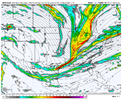
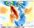
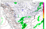
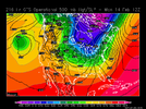
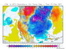
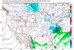
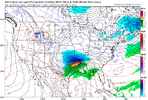
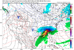
Biggest question right now is gonna be qpf. Surface looks to be well below freezing. GFS has us in the teens most of the event. Looking good right now.View attachment 111655

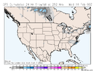
This has the potential to be the biggest snowstorm I've seen since 1993 in Alabama and I barely remember that ?

This would be unprecedented in the 20 years since if the GFS is even half right
 
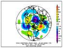
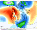
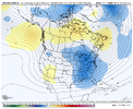
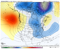
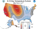
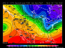
Progressive but very cold shots of northern stream energy around the GLs/SE can with lots of sfc HP to our north. some hint of SS energy. Pattern that needs to be watched but no storm threat yet
 
Temps already marginal. Power grid is safe
Our source region tho for the damming high ?
A147A41A-784B-4744-B6CA-861CA9DD2E58.png

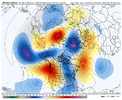
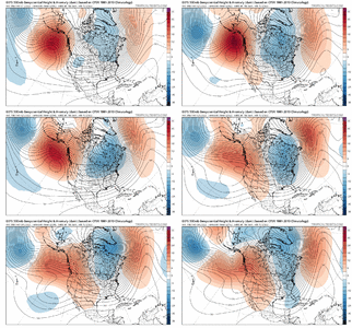
worth noting that the NE is getting lots of snowpack after their big storm then we have this next week, there’s about to be a crap ton of snowpack to our NE/N. I think the only issue is how progressive the N/S energy will be, not having much time to coil up/amp up around SE Canada to keep a big CAD around might be a issue, but if we can fix that then we have something to really watch, EPS isn’t far off as well58772D12-50CF-48C7-808C-34C40EAD647A.png
 
Memphis cautiously looking over the forecast going into next week. Here's a piece from their afternoon AFD:

Rain chances will increase Tuesday Night and into Wednesday as
the cold front eventually sinks into the Mid-South. PW`s will be
150 to 250 percent above normal for this time of year. Thus, the
threat for heavy rain will be possible with this system. In
addition, winter weather will be a concern. Arctic air will be
plunging in behind the front. The big question will be where
exactly will be the front located. There remains differences
amongst the models on where exactly the front will be as the front
is expected to slow its progression and possibly stall Wednesday
Night into Thursday as a SFC low develops over Texas and tracks
northeastward along the front. In addition, there are differences
in regards to timing of an upper trough moving into the region.
There is a scenario where the arctic air filters in but a shallow
warm layer remains just above the surface to produce freezing
rain. If the arctic air plunges in quicker, precipitation may turn
to all snow. Do expect at least a short period of snow on the
back edge of the precipitation Thursday afternoon into the evening
as the precipitation tapers off. However, too much uncertainty
during this time period to pinpoint what exactly will happen.
Mentioned freezing rain and snow in forecast for Wednesday Night
into Thursday. Stay tuned to the latest forecasts.
 
Back
Top