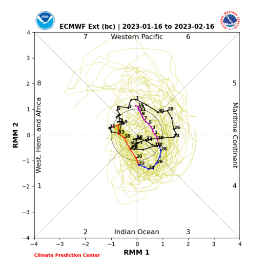
Gonna be keeping an eye on the MJO the next few weeks. The bias-corrected ECMWF monthly forecast from yesterday is probably one of the more realistic ones overall, keeping the MJO milling around w/ amplitude between phase 6-7 for basically the rest of December, which signals warmth overall in the SE US and cold intruding into the N Rockies + upper Midwest (canonical NINA pattern)
The reason I say this is when you breakdown the daily probability (%) of seeing a winter storm in NC (east of the mtns) by MJO phase and month, what really stands out is MJO phase 7 in January w/ nearly
a 16% chance of a winter storm per day, higher than any other phase in
any month, phase 8 & null are a somewhat close seconds in January. This likely has a lot to do w/ the subtropical jet becoming more active & a -NAO tendency being favored when the MJO moves towards the west-central Pacific (phase 7). If the CFS and EPS + empirical wave propagation for a slow-moving La Nina MJO event (i.e. history) are generally to be believed, we could see this come to fruition in/around early January. I.e. the most favorable window for a winter storm may be in this time period
Chart is shown below: NC Winter Storm Probability by MJO phase & month since 1974.
Most favorable phase overall (red/bold, Jan Phase 7), most favorable phase per month (orange/bold), 2nd & 3rd most favorable (yellow/bold)
View attachment 96701
Data source:
Nov-Mar Daily Teleconnections and NC Winter Storms List (1948-2021)


.gif)


