• Hello, please take a minute to check out our awesome content, contributed by the wonderful members of our community. We hope you'll add your own thoughts and opinions by making a free account!

Pattern Dazzling December

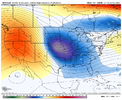
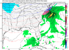
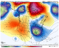
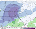
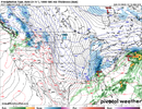
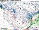
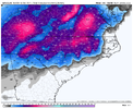
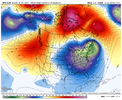
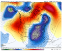
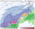
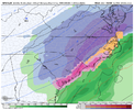
At first glance it looks not great but this is air that’s still plenty cold enough to support some winter weather with the suppressed storm track and blocking over top .. and the gfs is certainly playing with that idea right now .. cold enough for a thumping of snow with a dynamic system. Still gfs is a bad model so this is just eye candy but I won’t budge on believing anything it says until CMC but more importantly the euro agrees with it
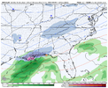
Oh yeah I agree. Currently there are caveats we can take away from the gfs but I trust it very little especially when the ensembles have not had its back. Obviously the nice little wound up low giving the deep south snow is fun to look at.
 
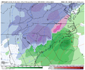
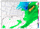
The 00z GFS looks very similar to that storm we tracked last year. Marginal temps that are reliant on the SE Canada Vortex. By the way, the GFS loves to pull the setup of overamplifying a low coming from the plains a LOT. I bet if I search through the archive thread, I could find several more.
 
The 00z GFS looks very similar to that storm we tracked last year. Marginal temps that are reliant on the SE Canada Vortex.
Yeah except it goes a lot further south than the one last year if I remember correctly. I’m surprised the snow is that far south.
 
Yeah except it goes a lot further south than the one last year if I remember correctly. I’m surprised the snow is that far south.
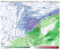
Try the 00z CMC 1/11/2022 run. This one was even closer.
 
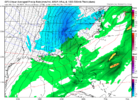
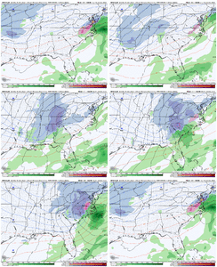
I think if you loop the 0z GFS, the Midwest bomb on Monday and Tuesday, stalls and goes towards the Rockies and ejects East to become the SE winter storm a few days later! Crazy, crazy run! ⛄
 
9b4c2906842267d04cc00f98444aebc6.jpg

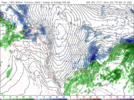
CMC during the gfs fantasy storm. These models are a joke


Sent from my iPhone using Tapatalk
 
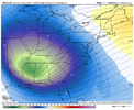
I think it’s fair to mention that we could be dealing with a bit of a warm up for a couple days before Christmas. All 3 major ensembles are hinting at it. They do have cold air moving back in on Christmas day! Will be interesting to see what happens. Surprising the EPS is the coolest. As long as the 0z gfs doesn’t happen
d7788ac3dac45a7423bda79e47049ddc.jpg
fc03fb6514c22739f982b3beb7937b8a.jpg


895afdb84be7bd4004afe217fc02d61c.jpg


Sent from my iPhone using Tapatalk
 
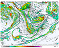
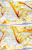
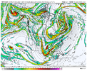
I've looked at a lot of old winter storms from the past, and I can say with confidence that I've never seen one take this progression / path at 500mb that is shown on this 00z GFS run. The wave tracks from N California to Nebraska, makes a loopty-loop, extending back into Wyoming, then dives SE to Charleston. Highly unlikely to happen that way, but as the country song goes, "there's a first time for everything"

Anyway, as @ILMRoss alluded to earlier today, all of the models are struggling with this wacky, blocky pattern, not just the GFS. There's no better time than now to lean on the ensemble means...and even those aren't staying consistent

JfXlZh1.gif
This is what I posted earlier. You can see it go back towards the Rockies, even on the surface maps!! Very bizarre
 
If worried about a warm up after this cold shot, read the CPC long range forecast discussion from earlier today. It notes the GFS is basically not very usable currently because it's improperly handling storms in relation to the -NAO/blocking pattern. That is causing it to have wildly varying results from run to run as it gets further into the extended. CPC said they aren't even using it in their longer range forecasts right now and instead are using the Euro/EPS.
 
Back
Top