-
Hello, please take a minute to check out our awesome content, contributed by the wonderful members of our community. We hope you'll add your own thoughts and opinions by making a free account!
You are using an out of date browser. It may not display this or other websites correctly.
You should upgrade or use an alternative browser.
You should upgrade or use an alternative browser.
Pattern Dazzling December
- Thread starter Rain Cold
- Start date
iGRXY
Member

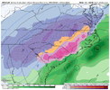
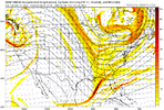
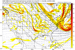
Perfect ULL track for the upstate and piedmont of NC.
packfan98
Moderator
packfan98
Moderator
GEEZ!


iGRXY
Member
NBAcentel
Member
- Joined
- Jan 23, 2021
- Messages
- 4,601
- Reaction score
- 15,196
- Location
- Lebanon Township, Durham County NC
iGRXY
Member


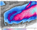
This would be crazy rates. Beautiful column
rburrel2
Member
Ratios would be insanely high. Think of how long a foot+ of snowpack would hang around with the incoming cold behind this storm. Plus low sun angle time of year. I’m gonna need a cigarette after this run. Whew.
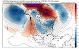
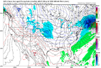
GFS listened to me for a change ??Shift all of this west five hundred miles and it’s a board wide annihilation. Thousand year storm probably View attachment 126471
iGRXY
Member
The whitest christmas of all christmases that run
D
Deleted member 609
Guest
CMC misses wide right
Cary_Snow95
Member
That is the ultimate weenie run. Can’t wait to see what temps bottom out with snow cover this run
NBAcentel
Member
packfan98
Moderator
Round 2 going to drop in Christmas Day???


NCCWOP9077
Member
DadOfJax
Member
If trends continue, this could be the biggest snow for all of North Alabama since 93’
D
Deleted member 609
Guest
LukeBarrette
im north of 90% of people on here so yeah
Meteorology Student
Member
2024 Supporter
2017-2023 Supporter
- Joined
- Jan 23, 2021
- Messages
- 4,601
- Reaction score
- 15,196
- Location
- Lebanon Township, Durham County NC
Storm max of 32" somewhere between South Hill and RIC.
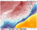
Yep. It's funny to look at the Kuchera and see 20" while the 10:1 is showing 15".Deep cold CAD as well, it’s snowing in the fookin 20s View attachment 126587View attachment 126588
iGRXY
Member

Cary_Snow95
Member
SNOWMANN SPECIAL!!!! Merry Christmas my friends and cheers. Here's too a fun and exciting week ahead!!! And just to thinks it's under 200hrs.
- Joined
- Jan 23, 2021
- Messages
- 4,601
- Reaction score
- 15,196
- Location
- Lebanon Township, Durham County NC
It clocks every major city from Atlanta to Boston. Like all of them.
packfan98
Moderator
Add New Orleans to the big cities hit from this run.


Iceagewhereartthou
Member
Wow, fellas, this is textbook here for many on the board; an old fashioned kind of snow storm; 70s 80s style. It's a weenie run no doubt, but wouldn't it be awesome to see something like this; I mean it's got to happen again eventually. Beautiful!


Cary_Snow95
Member
packfan98
Moderator
Round 2 is going to do it. Little further south.


NCCWOP9077
Member
NBAcentel
Member
Cary_Snow95
Member
The elusive snow on snow run
packfan98
Moderator
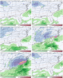
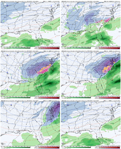
Here's the 2nd system. Doesn't get the ULL enhancement, but still a good one.


DadOfJax
Member
And it will inevitably trend a little more north like round 1Round 2 is going to do it. Little further south.


