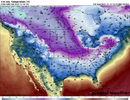
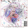
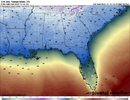
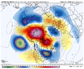
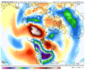
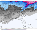
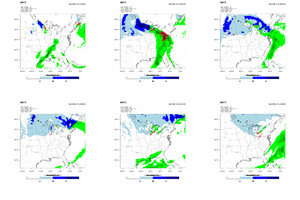
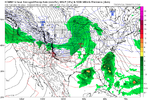
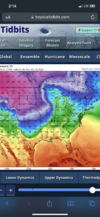
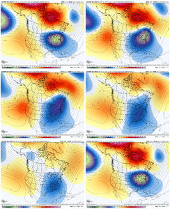
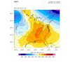
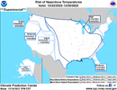
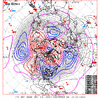
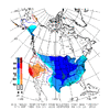
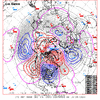
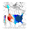
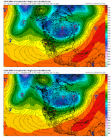
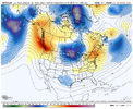
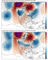
I like the fact that the ridge north of AK doesn't cut off. Hopefully it doesn't roll over. Anyway, looks good. Should have some energy to work with in the STJ with that look. Hopefully, it can remain suppressed.CMC Ens goes to this
Let’s not get too excited. Remember there’s a good reason our snow climo isn’t above but a few inches a year .. cause it’s just damn hard to get snow in the south. There’s always more fail routes then there are success routes. I certainly like where the trends are going though in terms of some sort of winter weather in an area in the south east or mid Atlantic.AT this point I think it's not a matter of if, but when we get a legit winter storm here in the south. Now granted nothing is guaranteed in life, but this basically house money at this point if the progression of the pattern continues like it is doing so far. We would have cold air to the west, confluence/CAD and cold air to the north. wave after wave of energy rolling through, blocking over top to shift the storm track south. I think this time next week (maybe sooner) we will have a storm to track. Now whether that's Ice or snow remains to be seen, but I think the odds are through the roof right now.
Agreed. As Webb noted earlier the pattern we are going into improves our odds, but there’s plenty of times where the perfect pattern doesn’t translate to winter stormsLet’s not get too excited. Remember there’s a good reason our snow climo isn’t above but a few inches a year .. cause it’s just damn hard to get snow in the south. There’s always more fail routes then there are success routes. I certainly like where the trends are going though in terms of some sort of winter weather in an area in the south east or mid Atlantic.
Difference is whether or not the perfect pattern has any type of staying power. As of today and again this is as of today it looks like it does. You keep this pattern for 3-4 weeks and somebody will score. It may not be us in the Carolinas, could very easily be mid south, the deep south and Mississippi valley, heck you get too much blocking and drop too much cold air and the gulf coast or coastal regions of the SE will score. Right now I think the odds are somebody, not everybody, will see some type of winter storm within the next 3-4 weeks. Just not sure on who and we won't know that until there's something to actually track. That's really my point. Not guaranteeing snow for everybody lol.Agreed. As Webb noted earlier the pattern we are going into improves our odds, but there’s plenty of times where the perfect pattern doesn’t translate to winter storms
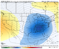
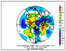
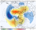
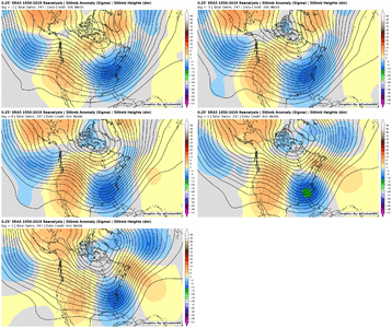
That doesn’t look like a west based -NAO, did he have a 500mb map ?What do y’all think of this?
Sent from my iPhone using Tapatalk
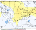
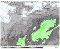
Trends today nudged in the direction of less SE ridging, but it's always lurking in La Nina....small differences in the height pattern go a long way and there will be plenty of back and forth moves going forward with the model runsWhat do y’all think of this?
I would be curious to see how that would look if you throw the very -AO into the mix. A number of those dates were at time when the AO was positive to neutral. Right now the AO is almost to -3 and looks to stay below -1.5 for the foreseeable future. Also one would have to throw the MJO into the mix. It’s going into a mode that favors muted SERWhat do y’all think of this?
Sent from my iPhone using Tapatalk
You need a little ridge to take suppression off the table for a good storm in the SE. It’s a razor fine line!Trends today nudged in the direction of less SE ridging, but it's always lurking in La Nina....small differences in the height pattern go a long way and there will be plenty of back and forth moves going forward with the model runs