• Hello, please take a minute to check out our awesome content, contributed by the wonderful members of our community. We hope you'll add your own thoughts and opinions by making a free account!

Pattern Dazzling December

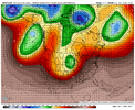
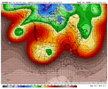
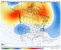
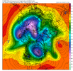
While the December pattern in the US is still very much up in the air, this should be one of the coldest and snowiest Decembers in recent memory for Europe. Horrible timing with the current energy crisis. The massive -NAO is unleashing cold air there, with an active southern storm track, slated to produce accumulating snow down to the Mediterranean coast on today's 12z EPS run.

View attachment 124573
They are very overdue none the less. It’s about time the cold hammer dropped on Western Europe! Paris has had maybe one or 2 below average months out of the last 24… no cold winter since 2010
 
6z GEFS is much better!!! We’re back folks! Happy Friday


Sent from my iPhone using Tapatalk
The 0z EPS was still pretty good too. I know it’s a broken record but these models really do struggle with overall pattern changes at long leads. Heck I looked back 12 days ago and the GFS was showing well above average temperatures for yesterday and today.
 
Lets hope the ensembles rule the roost over their ops. Usually do in the 7 day+ range. The ops are throwing sand on my pipe dream novelty chances for I40 corridor next weekend. Chazwin hit nail on head and biggest thing we want to root for is this pattern to evolve in a favorable way. If we don't catch and get some those cold lobes/air to pinwheel under the block as it sets up shop, it will all be in vain.
 
1671235200-55jVkkRhrL0.png
 
Lets hope the ensembles rule the roost over their ops. Usually do in the 7 day+ range. The ops are throwing sand on my pipe dream novelty chances for I40 corridor next weekend. Chazwin hit nail on head and biggest thing we want to root for is this pattern to evolve in a favorable way. If we don't catch and get some those cold lobes/air to pinwheel under the block as it sets up shop, it will all be in vain.
I still think that next weekend is more of a Mid-Atlantic and New England threat and that’s ok because we want snow cover up there. The other thing is that while we would definitely like to see those cold lobes, to come under the block, there is still plenty of homegrown cold air up in Canada that can work for us the deeper we go into the month and the more snowpack that is built to our north
 
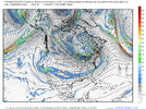
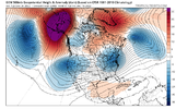
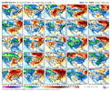
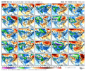
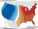
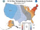
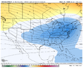
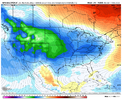
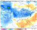
Still fairly good agreement on the models for the 10D-15D period. Still things can change for better or worse this far out.
1671235200-udmJU7YnUhI.png
1671235200-KxjQBQyXjF8.png
1671235200-Oy3bVolpDJg.png

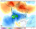
Yeah, they look ok. EPS is better than others I think, but I'm starting to believe it's playing catch up with the GEFS. Generally, I hope it's just a bit of a can kick. Doesn't look really cold until after midmonth which I'd be fine with. But I guess odds are we at least stay seasonal cool, and that's a win considering past Decembers. With that said, who knows what else changes in the next two weeks. ?‍♂️

gfs-ens_T2ma_namer_65.png
I am personal not looking for any big changes until around the 20th. Anything before that would be an added bonus. A cool December would be a major win compared to the last several Decembers we have had.
 
Last edited:
Back
Top