• Hello, please take a minute to check out our awesome content, contributed by the wonderful members of our community. We hope you'll add your own thoughts and opinions by making a free account!

Pattern Dazzling December

View attachment 124570
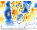
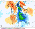
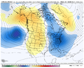
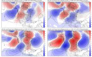
Week 3 December 15th - December 21st CFSv2 looking solid with the ridge currently over the Aluetian Islands migrating to the East and North to Alaska with the -NAO still persistent. CFS says goodbye to the -PNA in this resolution. This would be a best case scenario; wouldn’t get my hopes up considering how volatile models have been.
That setup what cfsv2 is depicting is ideal or close to ideal to bring down real cold air
 
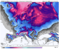
While the December pattern in the US is still very much up in the air, this should be one of the coldest and snowiest Decembers in recent memory for Europe. Horrible timing with the current energy crisis. The massive -NAO is unleashing cold air there, with an active southern storm track, slated to produce accumulating snow down to the Mediterranean coast on today's 12z EPS run.

Screen Shot 2022-12-01 at 10.52.29 PM.png
 
There was a period during the February 2010 snowstorm where we easily picked up 3 1/2" within two hours.
My favorite memory of that one was being stuck in traffic in the pouring snow behind a south Florida tag. The guys kids were so far out the windows I’m surprised they didn’t fall out. You could tell they’d never seen snow before. It tickled me to death.
 
As many have pointed out the past couple days were dealing with our first legit winter pattern change of the year. There’s little to no snow cover in the northern US. This storm for 160 hours out should more than likely trend better for Virginia areas and north more than it would for anyone to the south. Things take time for us down here. Let’s a few storms go by .. build the snow pack up north so we can filter down that cold air easier and eventually with a block over top things will start looking up more and more for our region. Key is patience which is hard to have for us snow lovers. I can certainly attest to that D68A20BE-9692-4743-8049-A2B613AA9E0A.jpeg
 
You right. It is always quite stubborn. It always amazes me how much longer a W. coast trough lasts compared to an E coast trough


Sent from my iPhone using Tapatalk
 
You right. It is always quite stubborn. It always amazes me how much longer a W. coast trough lasts compared to an E coast trough


Sent from my iPhone using Tapatalk
Not surprising given the La Niña background state. Always gonna favor warmth in the East due to SE ridging.
 
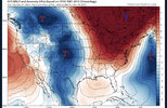
Just fabulous. While the west is frigid .
918066224f3bb201199c5645313a715a.jpg


Sent from my iPhone using Tapatalk
 
Just fabulous. While the west is frigid .
918066224f3bb201199c5645313a715a.jpg


Sent from my iPhone using Tapatalk
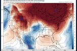
We if that ? is what wins and we fight a SER all month I don't know what to blame anymore. MJO isn't unfavorable like it has been in the past. 10-11 was a moderate, maybe strong La Nina can't remember and it was cold. With a block that strong it dominated the pattern even with a -PNA. It makes no sense unless Panovich is onto something or either the models are wrong.
 
Back
Top