• Hello, please take a minute to check out our awesome content, contributed by the wonderful members of our community. We hope you'll add your own thoughts and opinions by making a free account!

Pattern Dazzling December

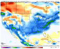
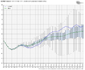
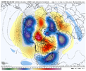
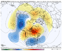
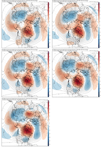
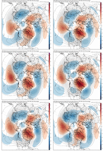
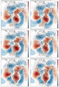
Didn’t realize the EPS last night was going for Aleutian low/+PNA/-EPOView attachment 124480
Been noticing that slowly with each run y’all post. It seems like the long range models want to slowly drop that big low toward the Aleutians.

BTW, what is this pattern gonna do to the strat PV?
 
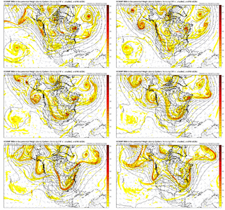
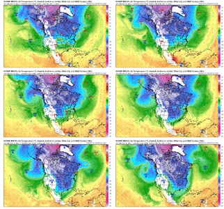
12z CMC is suppression city which is good at this point. Remember NW trends comes into play a lot this time of year❄️? Hopefully not this time around?
Problem is with a -NAO that strong, that NW trend may not be nearly as significant this time around. Suppression city is something we will have to pay close attention to while blocking over top is that strong.
 
Weird look with storm coming from the NW and dropping south. Only works when there’s a -NAO and lower heights over the Atlantic.
All yalls best winter storms come through iowa first! See last years January storm, for reference! ⛄
 
Problem is with a -NAO that strong, that NW trend may not be nearly as significant this time around. Suppression city is something we will have to pay close attention to while blocking over top is that strong.
Wasn't there a time a few years ago every storm was suppressed and it was just cold and dry for a period of time?
 
I like Panovich but you can always count on him to rain on the parade. He makes sure everyone knows it's warmer than it used to be.https://twitter.com/wxbrad/status/1598366500250943492?t=DYfsR_np_yHt9l4wpd2n4A&s=19
I know we aren't suppose to talk about specific mets so all I am going to say is that is not surprising to see him say that. There has to be snow falling from the sky for him to call for it and 8" has to be on the ground for him to call for anything over 4" round these parts. Not saying that thinking process is wrong, just not the best way to approach it IMO.
 
Problem is with a -NAO that strong, that NW trend may not be nearly as significant this time around. Suppression city is something we will have to pay close attention to while blocking over top is that strong.
This is why we don’t want a huge +PNA imo. A tall ridge put west could crush everything too far south, but with a neutral PNA it allows a bit more that NW trend in the last 36 hours. Remember the February 2010 storm… I was forecasted to get nothing 36 hours out and ended up with a nice 5” storm
 
This is why we don’t want a huge +PNA imo. A tall ridge put west could crush everything too far south, but with a neutral PNA it allows a bit more that NW trend in the last 36 hours. Remember the February 2010 storm… I was forecasted to get nothing 36 hours out and ended up with a nice 5” storm
Yeah, a +PNA and we're talking about an I-10 storm
 
Well that’s discouraging
0de7afd62dc3c6b23556267d612cc5b4.jpg


Sent from my iPhone using Tapatalk
 
Wasn't there a time a few years ago every storm was suppressed and it was just cold and dry for a period of time?
Late December 2017, early January 2018. It should be noted that in that period there was strong blocking up north coupled with a tall western ridge that pushed the storm track well south and helped southern GA and coastal Carolina cash in with a big storm
 
Back
Top