• Hello, please take a minute to check out our awesome content, contributed by the wonderful members of our community. We hope you'll add your own thoughts and opinions by making a free account!

4/19/20-4/20/20 Severe Weather

More of a winter wx guy here, but I’m trying to keep tabs on the location of this warm front. Does anyone have a good source they would recommend?

Currently locked in wedge safety north of I-20 @ 52, but I’d like to keep an eye on this...because as Chris (@deltadog03 ) says, never bet against the wedge.
 
These two supercells are on a collision course lol. Lets see what it does to the rotationScreenshot_20200419-144526_RadarScope.jpg
 
God early on when I was out it felt the coldest it had in a while for me.

Felt better later though. I have southeast instead of northeast wind right now (actually noticed that outside and confirmed it when I checked a station) and it's jumped to 59 at least on the house thermometer. We'll see if this area can hold on.
 
Don't think we expected a change, but moderate risk maintained FWIW
 
Expecting this cell to start organizing more its developed a hook already Screenshot_20200419-150706_RadarScope.jpg
 
Well I think odds are decreasing a bit here possibly. Hrrr keeps the warm front south of me. We might sneak a little window? Idk. I think the I-20 corridor should be ok.
 
I wanna bet the tornado threat picks up towards the evening/nighttime hours as 1km shear picks up over 40+kts
 
As of 15z.. good that the warm front is not advancing North very much right now. Hopefully stays that way.

namussfc15wbg.gif
 
IMO the Moderate will stay due to the Wind Treat being maintained (45% and Hatched)

Valid point. Thankfully, at least as of now the tornado threat hasn't been what was advertised earlier. Of course, that is subject to change.
 
I was really hoping we'd at least get some elevated storms here overnight. I don't even know if I see that happening anymore.
 
Ok me being a "self termed Observationalist"..lol One major thing I ve noticed here last week vs Today.. NO Fog here today were last week it got extremely dense. In advance of the Warm Front. Plus I would feel "wisps" of WAA mixing in at times, late in the afternoon. .. Not today.. solid Wedge Feel today
 
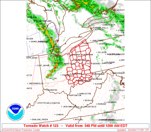
tor watch issued for southern AL. Non PDS, 90/70 tor probs
ww0123_radar.gif
 
Brett Adair on that possible tornado in MS.

 
Hate when storms get into a radar dead zone. Where you cant really get a clear picture of whats going on ?
 
*tornado warned now* Rotation with the cell that crossed the state line is begging to get stronger again. Screenshot_20200419-162832_RadarScope.jpg
 
Nvm that is theres a big CC drop looking at a loop of the rotation. It hit a pretty populated area as well
 
Strong rotation in alabama also. Its heading towards Linden alabama. Screenshot_20200419-170513_RadarScope.jpg
 
Finally a tornado warning was issued. Tight rotation heading towards needham alabamaScreenshot_20200419-174148_RadarScope.jpg
 
That one in Alabama looks like a decent tornado


Sent from my iPhone using Tapatalk
 
Back
Top