lexxnchloe
Member
Looks like its come to a halt again on the Euro but its stopped a little more west
12Z today

0Z last night

12Z today

0Z last night


I like the slow gradual strengthening allows less poleward motion early


Staying weak will allow this to make it a bit west before the poleward tug.GFS trend continues faster as well

And Landfall


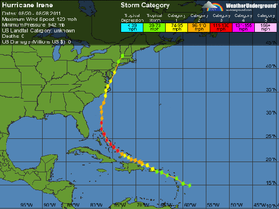
Interesting to see if the models bring the trough back or if the ridging along the east coast gets stronger. Could be anywhere from FL or the gulf to OTS. Still way too early as we all know but its the only thing worth watching now unless you love heat and dry.The first fantasy storm tropical version for MBY this season, would be a bit windy if that panned out....not a common track at all either......Hurricane Ireneish just further east down south.


