Tornadocane
Member
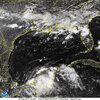
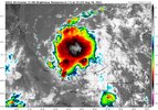
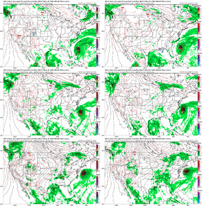
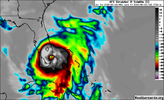
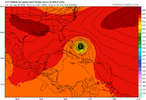
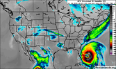
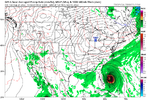
That's a very interesting solution on the 12z GFS, and I think there's a chance we could see it play out as depicted. It's not the usual GFS voodoo. If you take a look at the dynamic plots like 330 Potential Vorticity, 250Mb winds, and 700-850Mb wind and moisture, one can make out a boundary to the north of the Yucatan and Western Cuba that is left behind by a departing mid-latitude storm. This creates a baroclonically-enhanced zone for tropical development as the frontal boundary/shear weakens and pulls north. BTW... This is the same front shearing and smothering our Bay of Campeche Storm into Mexico.


