GoodIcon is a swing and a miss wide right
View attachment 106334
-
Hello, please take a minute to check out our awesome content, contributed by the wonderful members of our community. We hope you'll add your own thoughts and opinions by making a free account!
You are using an out of date browser. It may not display this or other websites correctly.
You should upgrade or use an alternative browser.
You should upgrade or use an alternative browser.
Wintry 1/20 - 1/23 Winter Storm
- Thread starter packfan98
- Start date
D
Deleted member 609
Guest
Yep don't want to see anything coming west at this pointGood
D
Deleted member 609
Guest
Icon does come in with something after to the south

Storm5
Member
Icon was close . Messy H5 look


Sent from my iPhone using Tapatalk


Sent from my iPhone using Tapatalk
Looks like the GFS will also be similarIcon is a swing and a miss wide right
View attachment 106334
Avalanche
Member
Time for NW trend. Heres to hopingLooks like the GFS will also be similar
Cary_Snow95
Member
GFS got rid of that SW energy for one run. Brought it right back on 0Z. Okay..
Cary_Snow95
Member
fwiw the NAM doesn’t drop that energy into the sw like the GFS does. Pretty significant difference within 78 hours

Cary_Snow95
Member
Not a bad look at this range
GeorgiaGirl
Member
I'm fine with this look from the GFS...but it is very weird that it got rid of that southwest energy for one run and then brought it back.
Better for it to miss for now.
Better for it to miss for now.
Cary_Snow95
Member
Tried to get there but a late bloomer

Cary_Snow95
Member


?
Cary_Snow95
Member
Models that hold back that energy in the southwest end up just popping a weak wave. We will know by Monday probably what will evolve with that
Cary_Snow95
Member
Icon and GFS both hold it back as does the NAVGEM. Hopefully it’s not a trend. NAM seems to move it along in the flow
Meanwhile the GEFS looks a tick better
Edit: Maybe worse, but not by very much.
Edit: Maybe worse, but not by very much.
In my opinion 0Z GFS is perfect at this point SUPRESSION IS GOOD at this range, just saying??
Brent
Member
Okay then
 The GEFS actually looks a lot better with the wave. Less flat this run.
Looks like the cmc will still have it

Cary_Snow95
Member
Yeah cmc kicks that energy out rather quicklyLooks like the cmc will still have it
View attachment 106357
 The CMC will be much warmer.
Yuck
GeorgiaGirl
Member
Not a fan of this low placement:

D
Deleted member 609
Guest
Not horrible but the wrong direction

00z CMC is a big storm, but a bit inland - watching it at 500mb though brings back ugly memories of the current storm as the wave digs well to the SW
GeorgiaGirl
Member
Based off this, the UKMET is in the late bloomer at best camp, which is good:
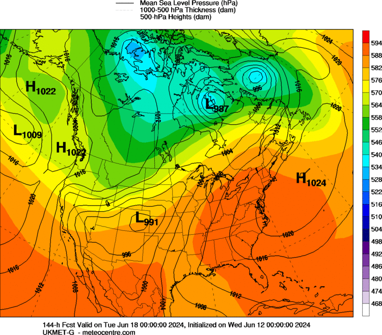
Meanwhile, the 00z UKMet is somewhat similar to the GFS, as it is weaker and positive tilt with the wave with some snow along the coast and across most of the bottom half of GA
- Joined
- Jan 23, 2021
- Messages
- 4,604
- Reaction score
- 15,203
- Location
- Lebanon Township, Durham County NC

Nice look on the GEFS Snowfall footprint...should be some good members in there

whatalife
Moderator

accu35
Member
Can you post members board wide when it come out?Nice look on the GEFS Snowfall footprint...should be some good members in there
D
Deleted member 609
Guest
This looks decent


Meh. A rain to mix sitaution for many of us,espically in South Carolina. In fact,I'm not sure if the Midlands of SC and East Central GA even changes to pure snow on this run. The Bulleye has also moved from Central SC/NC to VA and we have a South GA/very Northern FL track as opposed to a North Central FL track that the 12Z models had. Atleast the other models are suppressed so far,so hopefully the CMC corrects SE.Not horrible but the wrong direction
View attachment 106360
Anyone know where the 0C 850 line is on the 0Z UK throughout the precip duration?

24hr probabilities of snow > 1 in

 This was a positive trend with 850s
Right we want it to be when the track shifts West. I just hope the final solution isn't as far NW as what the CMC show.
NBAcentel
Member


