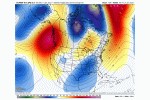
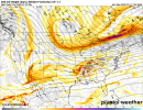
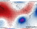
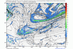
From KCHS ..
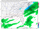
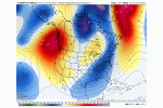
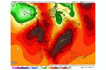
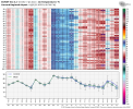
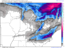
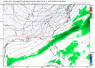
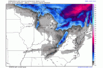
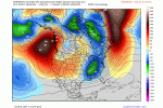
They've been discussing the potential in the Low country for a couple days now..
.LONG TERM /THURSDAY NIGHT THROUGH SUNDAY/...
A
baroclinic zone will exist along the SC/GA coast Thursday
night. A strong upper
shortwave approaching from the west will
tighten the
gradient and spur coastal
cyclogenesis. Meanwhile,
near the surface, cold air
advection will occur as high pressure
wedges down the Eastern Seaboard.
The
thermal profiles of all of the
medium range models indicate
the potential for wintry precipitation across all or part of the
forecast area at some point from late Thursday night through
Saturday morning. There has been drastic run-to-run
inconsistency between the global models which has resulted in
a low confidence forecast. At least the 00Z runs are showing
some broad consistency regarding the timing of the greatest
QPF,
with Friday and Friday night being the most
active. All models
are showing dry conditions beyond midday Saturday so we have
followed suit and removed
PoPs beyond 18Z Saturday.
The beginning of the p-type concerns is late Thursday night.
Fairly strong moist isentropic ascent along the coastal
front
will continue to produce light to moderate rain overnight.
Meanwhile, strong cold air
advection will be occurring, with
surface temps steadily dropping overnight. Model soundings
indicate the potential for a few hours of freezing rain across
inland SC just before daybreak Friday.
Surface low pressure is forecast to develop somewhere along the
Southeast coast on Friday.
Moisture and forcing will overspread
the area during the day, aided by strengthening right entrance
region
jet divergence. Fairly extensive precipitation is
forecast on Friday. The
atmosphere is forecast to steadily cool
during the day Friday. Model soundings show a pretty wide range
of p-types, with some indications that a portion of the area
will see freezing rain for much of Friday while others show a
more rapid cooling trend and a snow profile. The NBM continues
to show up to 0.10" of freezing rain and up to an inch of snow
through 12Z Saturday, the greatest accumulations across inland
SC. It does seem most
likely that if wintry precip occurs, it
will probably be a mix. Given the extreme uncertainty with this
event, we have kept things simple with respect to p-type and are
depicting rain and/or snow in many areas from late Thursday
night through Saturday morning.
All of the 00Z guidance shows precipitation ending by midday
Saturday at the latest. The
GFS is quite aggressive at scouring
out the
moisture early Friday evening while the
ECMWF and CMC
are much slower with the precip ending. So, not only is the
p-type in question, but the duration and thus accumulation
potential are also quite uncertain at this juncture.

