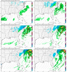
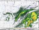
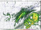
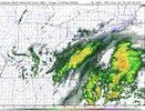
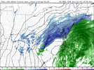
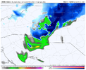
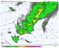
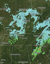
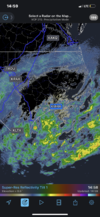
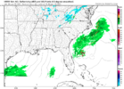
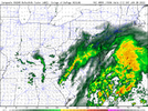
If there’s a chance there’s thundersnow under this band I know you’re sneaking out the house ? that’s rarity .. think about the ratesDang, too bad I’ll probably be asleep then. That band looks sick. Too bad I’m staying over at my girlfriend’s tonight and I don’t think she’ll be okay with me getting up in the middle of the night to snow watch. She isn’t quite aware of how fanatical about snow I am. ?
-
Hello, please take a minute to check out our awesome content, contributed by the wonderful members of our community. We hope you'll add your own thoughts and opinions by making a free account!
You are using an out of date browser. It may not display this or other websites correctly.
You should upgrade or use an alternative browser.
You should upgrade or use an alternative browser.
Wintry 01/28-29/2022 Winter Weather Potential
- Thread starter weather nerd
- Start date
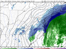
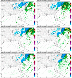
The snow band over Raleigh continue to looks more impressive each run… but the end of the HRRR we’ve been in 2-3 hours of moderate to heavy snow .. still snowing good at the end and temps dropped to 30 then .. HRRR was slow to develop things out west that are already showing up on radar right now .. this is getting interestingLast couple hrrr runs have improved again. I’m sure there’s more snow then rain further west considering the hrrr has been to high with temps today View attachment 111268View attachment 111269
LukeBarrette
im north of 90% of people on here so yeah
Meteorology Student
Member
2024 Supporter
2017-2023 Supporter
Flurries with a few sleet pellets mixed in Roanoke. Funny thing is HRRR had me with Rain for 1-2 hours to start.
olhausen
Member
Hope the Carolinas can get an over performance from this one. Had flurries here earlier and should get some more snow showers this afternoon and evening. This was never our storm but with snow this morning it has snowed every single week at least once this January. Sitting at 12.25 inches of snow on the season with the first half of February looking promising. Good luck to everyone East of here.
Sctvman
Member
Temps busting low in CHS. Staying at 46-47 so far today
really hope the hrrr is off its rocker with this precip depiction.


brendan123
Member
This is one of the toughest forecasts for SE Virginia that I can remember. It really depends on how far west the coastal low’s precip extends and how well the precip fills in between the coastal low and the band for how much snow we could get, local mets have us getting anywhere from 1” to 8”. Really just a nowcasting situation at this point. Sitting in a WSW for 2”-4” inches right now, while 5 miles to my west is a WWA for up to 2”, and 10 miles to my east there’s a Blizzard Warning for 5”-10”.
NCWeatherhound
Member
HRRR projected temps have been high in Central NC this morning. Said we'd be 50 degrees in FAY at noon, actual temps was 45. Similarly cooler here in Harnett.
I think that second wind of life seems to come maybe from the mini swirl that moves through Kentucky and tennessee today .. looks to almost “phase” in with our troughhrr still gets the band cranking though.
View attachment 111276
NBAcentel
Member
1-2 for most and someones neighborhood gets a lucky storm criteria snow .. let’s go!
L
Logan Is An Idiot 02
Guest
Ihrrr continues to show the band sort of fall apart as it rolls thru clt and then cranks back up.
View attachment 111266
Looks like it’s expanding the band further west. This is just a now casting kind of thing
i swear, every time we track storms 200+hrs out and here we are within 5 hours of precip breaking out and we still all have no clue. why did we choose this hobby again?I
Looks like it’s expanding the band further west. This is just a now casting kind of thing
That happens more often than some think. Actually happened 2 weeks ago during sleet festIf there’s a chance there’s thundersnow under this band I know you’re sneaking out the house ? that’s rarity .. think about the rates
yea hrrr is just bouncing around, going to be a winner if you get lucky underneath strong returns.


NBAcentel
Member
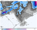
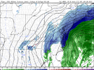
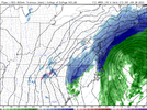
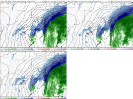
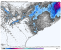
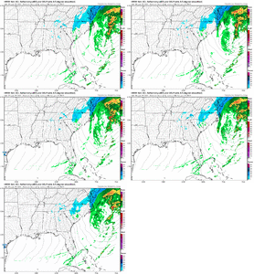
That HRRR is really upping the amounts along the Parkway in VA. Right now in Roanoke, some more solid than liquid drizzle with occasional flurries starting.Look how much the HRRR has changed from it’s 12z to 14z to current run for 23z Friday so this evening View attachment 111285View attachment 111286View attachment 111287
Last edited:
NBAcentel
Member
BelmontWX79
Member
Caving to the GFS! ?
Like the width of that band getting wider while at the same time not losing any punch, DBGZ darker shades
NBAcentel
Member
Ron Burgundy
Member
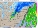
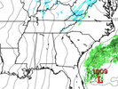
Nice flurries action for ATL at least!pretty big improvements on the hrrr run, feels like we’re trending back to yesterday but this time areas farther east are involvedView attachment 111288View attachment 111289
BHS1975
Member
This stuff reaching the ground?

Sent from my iPhone using Tapatalk

Sent from my iPhone using Tapatalk
ForsythSnow
Moderator
What is that map from?Most of this has been virga even back to GA. All the brown boxes are confirmed nothing fallingView attachment 111301
ForsythSnow
Moderator
Mping, it's a fair representation of people reporting for different Ptypes. Usually clustered reports are truthful to decent snowfallWhat is that map from?
mPING Report Display
mping.ou.edu
NBAcentel
Member
Rain starting on time here on the coast


