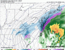
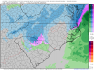
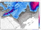
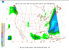
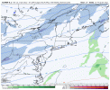
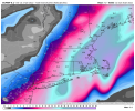
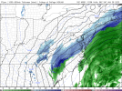
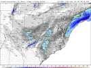
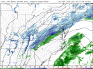
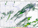
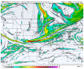
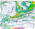
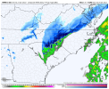
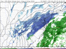
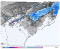
Euro seems faster; ruh roh
-
Hello, please take a minute to check out our awesome content, contributed by the wonderful members of our community. We hope you'll add your own thoughts and opinions by making a free account!
You are using an out of date browser. It may not display this or other websites correctly.
You should upgrade or use an alternative browser.
You should upgrade or use an alternative browser.
Wintry 01/28-29/2022 Winter Weather Potential
- Thread starter weather nerd
- Start date
Yeah, Euro close to giving the Central Carolinas a nothing burger this run.. wouldn't take but one more run like this one a bit faster.. Eastern/Coastal look to get snow though.
D
Deleted member 1449
Guest
EC is a decent event again for the 85 corridor from CLT to the Triad. It's close to warning level criteria. I wonder if we'll get any kind of watch with the afternoon update?
Euro wasn't bad slightly more NE with the trough, a little more shallow, and a touch faster moved some of the higher qpf totals around. Still would be a solid area or 2 of banded relatively heavier snow embedded in a decent sized area of light snow shifting E
Euro wasn't bad slightly more NE with the trough, a little more shallow, and a touch faster moved some of the higher qpf totals around. Still would be a solid area or 2 of banded relatively heavier snow embedded in a decent sized area of light snow shifting E
Likely model static tbh
Pretty much but it's not something that cae to gsp to clt wants to see start as an 11th hour trend.Likely model static tbh
I am getting word they are already talking about base closures at Camp Lejeune for MONDAY!! WTH???
Got my ticket to Boston tonight. Red eye. First class
- Joined
- Jan 23, 2021
- Messages
- 4,602
- Reaction score
- 15,197
- Location
- Lebanon Township, Durham County NC
At least there’s free alcohol. Good luck!Got my ticket to Boston tonight. Red eye. First class
Oooof, better take a boat out to the titanic wreck to see snowGot my ticket to Boston tonight. Red eye. First class
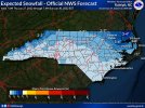
48 pages for that snow accumulation map, ugh. Looks and feels like a stock winter storm around hereRAH is still not buying that lee side band much at all, which I don’t really understand.
View attachment 111022
Here's the Fro K Index loop from the Euro for potential thunder / convective precip

Well. they have already put brine on the roads in Wake County which will get washed away by the rain proceeding what will probably be only snow flurries if the models are on track. For people in Wake County it looks like this a case of being in no man's land between what might be a nice event for Charlotte with the upper air system and the Northeast Coastal areas with the developing costal low. I guess it's good to err on the side of caution but that can be carried to extremes sometimes,I am getting word they are already talking about base closures at Camp Lejeune for MONDAY!! WTH???
Thought the Euro looked a touch better here at 500mb with the wave closing off late


D
Deleted member 1449
Guest
Odd given that they seemed to be leaning toward the EC solution in their recent discussions.RAH is still not buying that lee side band much at all, which I don’t really understand.
View attachment 111022
Prestige Worldwide
Member
Prestige Worldwide
Member
- Joined
- Jan 23, 2021
- Messages
- 4,602
- Reaction score
- 15,197
- Location
- Lebanon Township, Durham County NC
NBM was too low by a third on accumulations last event
D
Deleted member 609
Guest
Oh, I get it for sure. But Monday? In Jacksonville, NC? That "possible" 0.001" we could get here shouldn't shut down the largest Marine Base in the country lol.Well. they have already put brine on the roads in Wake County which will get washed away by the rain proceeding what will probably be only snow flurries if the models are on track. For people in Wake County it looks like this a case of being in no man's land between what might be a nice event for Charlotte with the upper air system and the Northeast Coastal areas with the developing costal low. I guess it's good to err on the side of caution but that can be carried to extremes sometimes,
Fountainguy97
Member
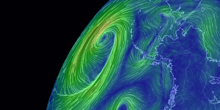
earth :: a global map of wind, weather, and ocean conditions
See current wind, weather, ocean, and pollution conditions, as forecast by supercomputers, on an interactive animated map. Updated every three hours.
I’m thinking someone may have heard the wrong thing or got bad info. Camp Lejeune’s point and click forecast shows about a dusting on Sat morning. In fact, Monday looks nice--sunny and lower 50’s.Oh, I get it for sure. But Monday? In Jacksonville, NC? That "possible" 0.001" we could get here shouldn't shut down the largest Marine Base in the country lol.
18z NAM looks worse for the coastal, but I think the ULL might deliver more of a punch than the 12z run for those who get under that. Keep in mind the 12z run had basically nothing on the lee side, so we’re not clearing a high bar here.
NBAcentel
Member
Big difference from last run, which didn’t really have that band at all.Beautiful View attachment 111041
Look at this 850 low over Edgecombe county on the 18z nam. didnt see it before on Nam runs


NBAcentel
Member
brad said advisories likely later tonight once we are within 24hrs of the snow starting.
One thing we will have working for us with this is the snow will be falling after dark (assuming there is any snow). That’ll help whatever falls stick better, especially with temperatures near/above freezing.
To early lol only watches would be issued at this time and the models don't warrant that. They'll issue WWA by tomorrow with possible WSW above 3500ft.Well neither GSP or RAH pulled the trigger and decided not to issue any watches, warnings or advisories expect for the mountain Counties. Guess they still aren’t buying this ULL.
Edit: NVM lol they already hoisted warnings above 3500 and they don't think the ULL will reach advisory criteria for the Piedmont. I think this is a mistake for Charlotte metro still time to issue one though.
Last edited:
3k nam is...anemic...


By reading the discussion, they are buying into to it, but think accumulation will be below advisory level… which I know my point forecast has 1-2 inches of accumulation in it so that’s clearly advisory level. Brad P just posted that he thinks advisories will be issued closer to the time frameWell neither GSP or RAH pulled the trigger and decided not to issue any watches, warnings or advisories expect for the mountain Counties. Guess they still aren’t buying this ULL.
Band continues to get closer to wake county .. hmm ?Beautiful View attachment 111041

