PDS
-
Hello, please take a minute to check out our awesome content, contributed by the wonderful members of our community. We hope you'll add your own thoughts and opinions by making a free account!
You are using an out of date browser. It may not display this or other websites correctly.
You should upgrade or use an alternative browser.
You should upgrade or use an alternative browser.
Severe 3/30-4/2 Severe Weather
- Thread starter SD
- Start date
First Warning from the Pre-Squall Supercells
HSVweather
Member
HSVweather
Member
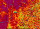
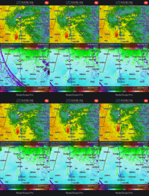
Looks like the tor threat for the southern half of this line should continue over the next few hours. There are some pretty well developed/defined mesos moving NE
Downeastnc
Member
Typically these are overdone but they actually panned out over the effected areas today so maybe we see gust 50-55 tomorrow even away from storms...
HSVweather
Member
HSVweather
Member
This guy does a really good job of covering all active threats. He goes live on all major events. I recommend
HSVweather
Member
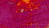
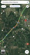
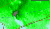
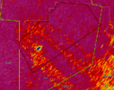
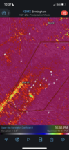
Apart from the line of supercells itself- the Birmingham metro and suburbs will need to watch these cells towards the SSW. Particularly the one that’s about to track near Marion, AL. Feel like it’s entering a prime area climatologically where storms like to produce tornadoes. Tracking roughly towards Bham 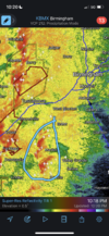

HSVweather
Member
Surprised there is no warning, that statement makes it seem like they are waiting for damage to issue a warning.
RollTide18
Member
Surprised there is no warning, that statement makes it seem like they are waiting for damage to issue a warning.
Just issued
bingcrosbyb
Member
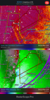
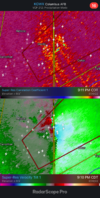
Perry just went warned.
HSVweather
Member
Z
Zander98al
Guest
Z
Zander98al
Guest
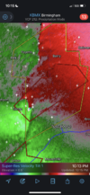
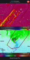
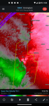
That one is a strong tornado, hate that it's at night
HSVweather
Member
Very rural area for nowThat one is a strong tornado, hate that it's at night

