Jean-Claude Van Nam
Member
I can confirm at 8:15 this morning there was light IP mixed in with rain in Pell City, AL while heading to a client. Temp showed around 40 degrees at that time.
. Oh it's gonna go wrong for a lot of us, me included...but the fun part is that it's going to go right for some who seldom see much snow, and those are the folks I'm gonna be happy for.Hard to believe we are less than 2 days from this event. What could possibly go wrong ?


That is a disaster, good godThis low is way too close and strong for this to be snow east and southeast of the Triad. UKMET looks poised to smack the mid Atlantic
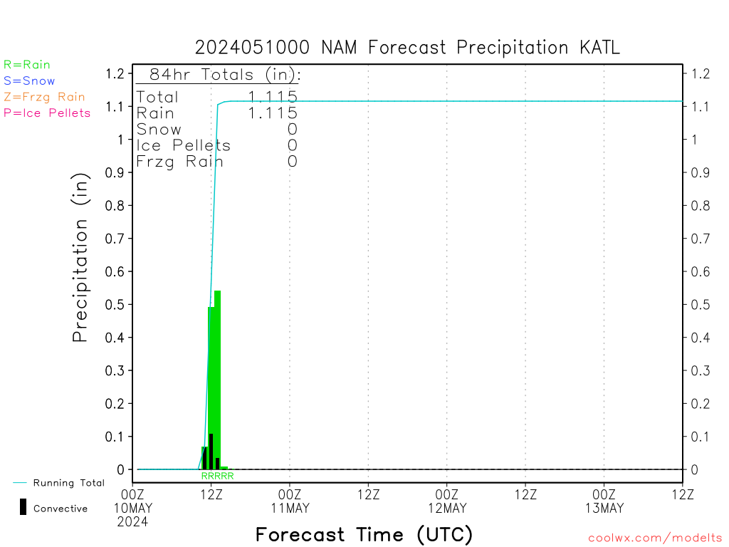
View attachment 1896
That is a disaster, good god
Hard to really know what precip looks like with this but personally I would take that track in a heart beat.
. Oh it's gonna go wrong for a lot of us, me included...but the fun part is that it's going to go right for some who seldom see much snow, and those are the folks I'm gonna be happy for.

Here's to hoping the Euro continues it's steady courseWell at least with a very strong low like this we do open ourselves up for some backend snow w/ more impressive CAA
yeah i'm on the outside looking in on this one. but honestly I feel better about my chances here than those in central NC at this pointLooks like the shield of precipitation on this run does manage to push into Chattanooga, just has to be snowing hard enough aloft to get this to change over to snow. light precipitation won't cut it
But if it doesn't I say bomb baby bomb better some backside snow then no snow I guessHere's to hoping the Euro continues it's steady course
Hard to really know what precip looks like with this but personally I would take that track in a heart beat.
I am all aboard the NAM at this point. SIgh.But if it doesn't I say bomb baby bomb better some backside snow then no snow I guess
Sent from my SM-G920V using Tapatalk
I’m getting a little nervous as well. Sweet spot might end up around RomeThis feels like 2017 all over again and it’s still 2017...
Hey ill take a trace-2" for 100 AlexWill just drop this right here....

This is the first time in my life i can ever recall the possibility for a good snow event this early in December. I have never seen snow on the ground before Dec 15.
Modeling had little pockets of mixed precipitation on the first wave, yeah.We have 38 with light sleet in the Rosewood Community of northern Cleburne County, AL at the moment. Hard enough for a little accumulation on the deck. Any model predict sleet for today?
If not then it seems the NW trend has become even more pronounced with the models than even before.Here's to hoping the Euro continues it's steady course


 no bueno
Except for AL GA folks. Looks great over here.If the ukie verifies gonna be a lot of disappointed peeps... 850 tempsno bueno

Sent from my SM-G920V using Tapatalk
NC mtns look good too i think.Except for AL GA folks. Looks great over here.
Disabled temporarily due to very high traffic.Are we still live
