• Hello, please take a minute to check out our awesome content, contributed by the wonderful members of our community. We hope you'll add your own thoughts and opinions by making a free account!

Severe Severe Weather February 16th -18 2022

With severe weather, cloud cover, it limits instability at the surface, cape is marginal, shear is sufficient, imo, the enhanced risk was put there to see if cloud cover breaks, if it does then yes alright tornado that, few long tracked, cape at the surface isn't strong enough, it's a wait and see event, like all weather, dynamics are there, in place, could honestly be a high shear low cape environment, no one will no until you walk out your front door and look at the cloud cover, very strong system, be more worried about winds, just don't think everything is in place
 
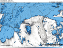
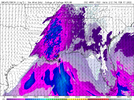
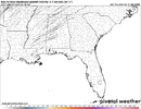
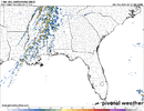
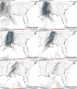
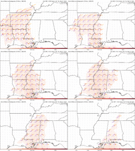
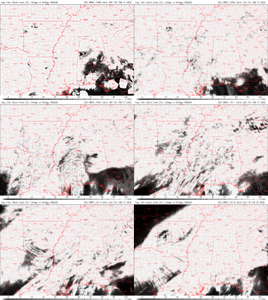
HRRR is still a very crowded setup, and UH isn’t impressive probably due to low level issuesView attachment 113742View attachment 113741
Thermodynamics really limits the ceiling on this setup, and looks rough on low level mesocyclones, but as usual, in most setups in the winter/spring, there’s a chance one or 2 storms manages to take advantage, Hodographs are favorable for cyclic supercell behavior given the great streamwise vorticity in the low levels.
 
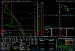
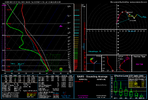
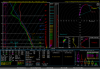
This soudning close to philadelphia MS is probably the most impressive I’ve seen modeled, low/mid level lapse rates aren’t impressive but it’s enough to get the job done, and 3CAPE is manageable, really depends on how crowded things are in MS View attachment 113743
If a storm can get established in that environment, then the LCL heights should make it very efficient at ingesting streamwise vorticity. As you mentioned, the low level instability might be just enough. It will be close, and I don't feel confident either way. Just have to see how thing evolve tomorrow.
 
HRRR is still a very crowded setup, and UH isn’t impressive probably due to low level issuesView attachment 113742View attachment 113741
Verbatim this is a few tornadoes some of which could become strong if they can properly tap into what’s given. This doesn’t scream tornado outbreak to me. Damaging winds though I could see being a much bigger issue. Maybeee more of a tornado issue in Mississippi
 
Last edited:
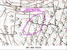
Looks like things are gonna pick up in a few hours around here. SPC mentioning a watch is likely to be issued soon. Looks like mostly a hail threat with the potential for some stronger winds around here in Central OK. Might be a slightly higher tornado potential closer to the Red River though.97C28622-08D9-4959-97DB-838CA41A3823.jpeg
 
One thing that is concerning is the bulk shear vector is almost due west which creates about a 45 degree angle to the front allowing cells to be more discrete and capable of producing tornadoes. I have seen this occur several times in recent past and tends to over preformed with the number of tornadoes it produces.
 
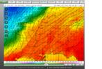
Looks like things are gonna pick up in a few hours around here. SPC mentioning a watch is likely to be issued soon. Looks like mostly a hail threat with the potential for some stronger winds around here in Central OK. Might be a slightly higher tornado potential closer to the Red River though.View attachment 113745
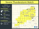
Just had a Severe Thunderstorm Watch issued until 5:00 AM.47A25036-2930-486C-8ED2-5CFEC7B8C5D9.jpeg
 
Yeah we're going to need a moderate around the Alabama Mississippi state line. Big cloud breaks are becoming evident. Few more mesoscale details to be ironed out but it looks like today will be eventful
 
Yeah we're going to need a moderate around the Alabama Mississippi state line. Big cloud breaks are becoming evident. Few more mesoscale details to be ironed out but it looks like today will be eventful
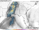
07Z HRRR SHOWING SEVERAL AREAS WITH BROKEN CLOUDS ALONG THE MS/AL LINE INTO CENTRAL BAMA AROUND SHELBY AND JEFFERSON CO
 
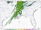
HRRR also printing way strong updraft swaths for west into central Alabama... Showing some nasty supercells through the left half. Buckle up fellas may be a long day. Hopefully I get my work done by 11.
 
1000j of sbcape now reach almost to Tuscaloosa from the west. Cape rising maybe it's catching on to the cloud breaks? Updraft swaths definitely are.
 
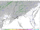
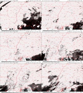
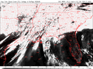
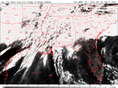
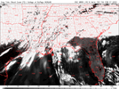
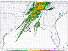
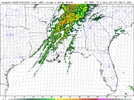
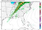
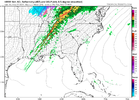
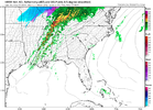
Goodness widespread breaks over both states now. Definite moderate coming somewhere in MS/AL. This is not what you want to see when you have questions about instability and lapse rates this will be the hammer to break through. We better hope those instability rates are accounting for sunshine HRRRSE_prec_cloud_012.pngHRRRSE_prec_cloud_011.pngHRRRSE_prec_cloud_010.png
 
BMX LATEST
.
SHORT TERM...
/Updated at 0338 AM CST Thu Feb 17 2022/

Through Friday.

Going to be active over the next 24 hours or so across the region.
Models are still having some timing issues as well as placement.
This is causing some issues with the overall blending models, thus
creating a fairly puzzling scenario. Synoptically speaking the
pattern is setting up to be a high shear, descent CAPE. The
placement of the best instability versus timing is the biggest
concern. Would also expect a pre-frontal trough to develop ahead of
the main line. Between the two areas of precipitation there is
typically a zone of subsidence that could potentially clear our some
of the clouds and allow for additional heating that could in turn
raise the instability level.

That is the pattern. Taking a look at the current radar, the pre-
frontal trough is now developing. Most of the short term models have
this but actually is too far west with the development. This further
east development leads a little more credence into the possible
subsidence zone between the two. Another factor this morning is the
fairly strong warm air advection moving in. It was 52 at 1 AM and
now it 59 degrees at 330 AM here at the Shelby. This has been
happening for most areas west of I-65 and will begin for areas east
of I-65 within the next few hours. I have added PoPs in the south
for the pre-frontal trough. How far north the rain actually makes it
this morning is a little tough to call as models really are missing
the placement. This morning`s sounding will be very interesting to
see how much of the column has actually warmed or if this is just a
near surface increase. Will issue a mesoscale update later this
morning.

For the day, would expect the prefrontal trough to exit before Noon,
thus plenty of time for the southeast to warm up into the upper 70s.
Areas in the far southeast (Eufaula/Troy) will likely be south of
the prefrontal trough and warm in the low to perhaps even mid 80s.
The line of showers and storms should begin to work into the west
after 11 AM and then slide east through the afternoon and into the
evening hours. No doubt that there is a severe chance with this line
as there will be plenty of wind aloft to tap into. In fact outside
of the line of storms, gradient winds will gust 30 to 45 mph in the
north. There could briefly be higher. The primary threats will be
damaging winds up to 70 mph, tornadoes, and hail, especially for
locations generally west of Interstate 65. The biggest thing that
could disable the threat is if the shear is actually too high and
prevents the storms from maturing before being sheared apart. The
overall threat will be decreasing as the line moves east as the
primary dynamics begin to move northeast away from the area. By 3 AM
most of the storms should be done, with some lingering showers on the
backside.

Friday will be relatively cooler with highs in the upper 40s to low
60s. Skies will clear as the system continues to clear to the east.
 
That’s still some pretty weak UH considering the simulated reflection, could be below 2-5km but also what was stated above
Wouldn't focus on the strength of the track too much, each track will have a chance for producing even if it's small. Always like to check the UH though but doesn't determine how strong I think the storm will be. I typically look at the EHI For that. Might be wrong for using the EHI for that but I do lol.
 
Back
Top