Z
-
Hello, please take a minute to check out our awesome content, contributed by the wonderful members of our community. We hope you'll add your own thoughts and opinions by making a free account!
You are using an out of date browser. It may not display this or other websites correctly.
You should upgrade or use an alternative browser.
You should upgrade or use an alternative browser.
Severe Severe Threat 2/21-2/23
- Thread starter SD
- Start date
Z
Zander98al
Guest
Z
Zander98al
Guest
Oh wow this cell in south Alabama looks to be surface based.
HSVweather
Member
Z
Zander98al
Guest
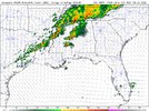
Wow the new HRRR run has a substantial tornado threat developing in the next few hours from central MS into Alabama. Begging to think where ever supercells develop you will have a accompanying tornado risk
Z
Zander98al
Guest
HSVweather
Member
Z
Zander98al
Guest
Forming along the boundary I pointed out earlier... Uh oh.
HSVweather
Member
Yes, you nailed it. Waiting to see if they can get surface based and take off..Forming along the boundary I pointed out earlier... Uh oh.
HSVweather
Member
Darklordsuperstorm
Member
Mostly sunny 77 here in Hoover. It's hot!
Z
Zander98al
Guest
Z
Zander98al
Guest
Z
Zander98al
Guest
accu35
Member
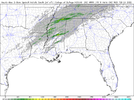
Any chance of storms around the Mobile Al area?Hrrr indicates maturing supercells within this little cluster as we go forward. View attachment 114223
Z
Zander98al
Guest
https://www.spc.noaa.gov/products/md/md0173.html tornado watch may be coming soon
droptines35758
Member
Z
Zander98al
Guest
I don't think so nothing severe atleast.Any chance of storms around the Mobile Al area?
HSVweather
Member
HSVweather
Member
Z
Zander98al
Guest
HSVweather
Member
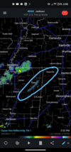
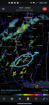
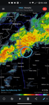
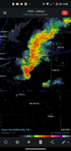
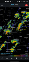
That storm just southeast of Jackson MS has increasing lightning and might be one to watch.
Z
Zander98al
Guest
Z
Zander98al
Guest
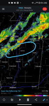
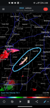
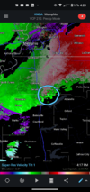
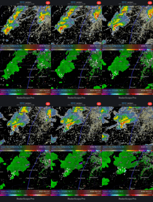
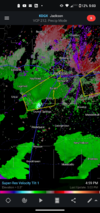
Very close to radar and still showing rotation so it's probably a bit stronger than radar is showing right now.That storm just southeast of Jackson MS has increasing lightning and might be one to watch.
There's gonna be a lot of hit and misses today in terms of rotation
LukeBarrette
im north of 90% of people on here so yeah
Meteorology Student
Member
2024 Supporter
2017-2023 Supporter
Storms still seem like they are struggling to get higher into the atmosphere. However they are heading into a better environmentTwo goodins right here. View attachment 114235
Z
Zander98al
Guest
Yeah some of them should start to bloom soon. More shear as they move north as well.Storms still seem like they are struggling to get higher into the atmosphere. However they are heading into a better environment
Z
Zander98al
Guest
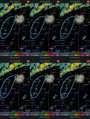
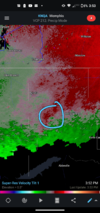
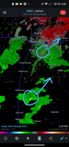
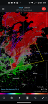
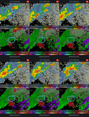
That cell near Jackson continues to strengthen it's meso. Still a bit broad though
Z
Zander98al
Guest
HSVweather
Member
Z
Zander98al
Guest
Z
Zander98al
Guest
No trolling In severe threads, it was way too much in the last threat, keep it to banter please.Aliens
Z
Zander98al
Guest
Z
Zander98al
Guest
Z
Zander98al
Guest
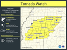
Tornado watch coming. Give one second
Z
Zander98al
Guest
There taking there time issuing it, oh well. I'll post as soon as I see it
RollTide18
Member
There taking there time issuing it, oh well. I'll post as soon as I see it
For E MS and W AL?
Z
Zander98al
Guest
Yes.For E MS and W AL?
HSVweather
Member
HSVweather
Member
Z
Zander98al
Guest
le
Think it's just clutter

