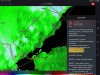
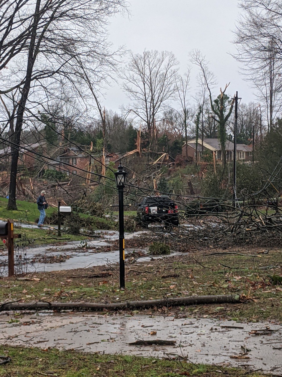
• Hello, please take a minute to check out our awesome content, contributed by the wonderful members of our community. We hope you'll add your own thoughts and opinions by making a free account!

Severe Possible severe weather February 4th-7th

I wouldn't be at all surprised to see clouds start thinning over the next hour and maybe some breaks of sun in the early afternoon. If we start to get mixing we might scour this cloud deck out pretty well and really warm temps today.

Agree 100%. Looks like they are already thinning out to my south, according to satellite. Edit: Schools in my area are dismissing early. I'm guessing for the flood threat but also the increasing tornado threat.
 
I wouldn't be at all surprised to see clouds start thinning over the next hour and maybe some breaks of sun in the early afternoon. If we start to get mixing we might scour this cloud deck out pretty well and really warm temps today.

Looking at the hourly forecast, it appears to show some clearing between 11 and 3.
 
Portions of Lincoln, Cleveland, Gaston counties all under tornado warning in NC as well
 
Mesoscale discussion coming out looks like a watch will be coming for SC into the Charlotte area.
 
in Iredell now watching tornado warning to my southwest. 46 degrees back home. the only two tornadoes I’ve seen had temps 50 to 54 degrees.
 
Here it is.

mcd0089.gif


Mesoscale Discussion 0089
NWS Storm Prediction Center Norman OK
0850 AM CST Thu Feb 06 2020

Areas affected...northeast Georgia...western South Carolina and
central North Carolina

Concerning...Severe potential...Watch likely

Valid 061450Z - 061545Z

Probability of Watch Issuance...95 percent

SUMMARY...The threat for damaging wind and isolated tornadoes is
expected to increase this morning and persist into the afternoon
over a portion of the Carolinas. A tornado watch will be needed
soon.

DISCUSSION...The low-level jet will continue to strengthen to in
excess of 60 kt, supporting low-level theta-advection and
destabilization of the warm sector downstream from a line of
thunderstorms that currently extends from southwestern NC into
western SC and northeast GA. MLCAPE will likely increase to around
500 J/kg as temperatures and dewpoints slowly rise through the 60s
F. Winds aloft will remain mostly parallel to the convective line,
suggesting a relatively slow eastward advance compared to the rapid
northeast movement of cells or bowing segments within the line. VWP
data already show large low-level hodographs with 0-1 km storm
relative helicity from 300-400 m2/s2. Despite the linear nature of
the storms, isolated tornadoes will be possible with embedded
supercells or meso-vortices. Otherwise damaging wind should remain
the primary threat.
 
I witnessed a 20 degree temperature change on i77 Elkin to i77 Iredell. Mid 40s to Mid 60s.
 
HRRR looks pretty crazy with no all models playing catch-up with the amount of CAPE being generated.
 
New tornado warning NW of Athens. One still going NE of Athens
 
Can't believe there isn't a watch yet for western to central NC.
 
Back
Top