Mesoscale Discussion 0703
NWS Storm Prediction Center Norman OK
0137 PM CDT Mon May 20 2019
Areas affected...Texas Panhandle/West Texas
Concerning...Tornado Watch
197...
Valid 201837Z - 201930Z
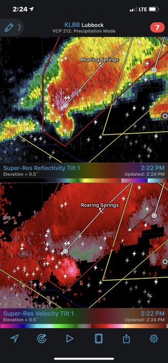
The severe weather threat for Tornado Watch 197 continues.
SUMMARY...Rapid development of tornadic supercells expected in the
next 1-2 hours.
DISCUSSION...Convective initiation is underway across the Texas
Panhandle and west Texas within an environment characterized by
MLCAPE of 3500-4000 J/kg, effective bulk shear of 50-60 kt, and
effective SRH of 300+ m^2/s^2. In addition, observed soundings
launched by the TORUS field program in this area (Wellington, TX)
indicate weak CIN and a favorable low-level kinematic environment
for tornadoes in proximity to the developing convection, with a
sickle-shaped hodograph and 0-1 km AGL SRH near 300 m^2/s^2.
Convection that is developing now is expected to mature quickly, and
given the ambient environment, storms should quickly evolve into
supercell structures capable of significant, long-tracked tornadoes
within the next hour or two -- in agreement with SPC objective
analysis.