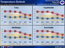
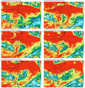
You’re in Myrtle Beach though… the average high there is in the 70s for most of the monthYuck! I'll take the 60s/70s please. Actually the average high for October in NW Virginia is around 65-66. IAD is 68/44 I believe.
-
Hello, please take a minute to check out our awesome content, contributed by the wonderful members of our community. We hope you'll add your own thoughts and opinions by making a free account!
You are using an out of date browser. It may not display this or other websites correctly.
You should upgrade or use an alternative browser.
You should upgrade or use an alternative browser.
Pattern October 2023 Thread
- Thread starter SD
- Start date
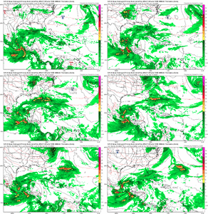
STJ getting hotCMC has it too. haha

That's typically always the case in the Southeast this time of the year though. Heck, that's normally the case anytime of the year in the South.Like I mentioned yesterday, just a quick cool shot with a +pna spike
NoSnowATL
Member
Might just be a blip if it even happens but I wouldn’t complain.STJ getting hot
W
WSW
Guest
Well, temporarily in Florida rn. But yeah, I think the averages are 76/54 in Myrtle. Hoping to sell properties and move back further North though.You’re in Myrtle Beach though… the average high there is in the 70s for most of the month
NBAcentel
Member
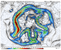
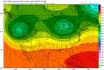
Very interesting to see what's on the backside of the initial trough. If the pac jet doesn't accelerate and extend to break down the western ridge it'll be easy to go right into more of a classic cold season nino look with a split flow off of the west coast, jet undercutting the ridge across the southern US and the northern jet rounding the top of the ridge and diving into the eastern US. If we extend the jet it'll be easy to go warm but we could clog up the north Atlantic and try to get into a ugly -nao/-pna couple. Good times
accu35
Member
I’m hoping this fall/winter will turn out better than last. Nice image above ?
Downeastnc
Member
I’m hoping this fall/winter will turn out better than last. Nice image above ?
I would say that its almost impossible for this winter to not be better than last winter since last winter never really happened.....but we all know that it certainly can be worse.
I believe a pattern change is definitely coming. My bees have been pretty much been pretty calm for the past few weeks with all the wild flowers blooming. This morning they are different, much more vigor and I was just chased out of the bee yard. I thought it was a robbing situation, but I’m not seeing that fight, just very anxious, aggressive work while bringing in a ton of pollen.
Brent
Member
The Euro, yep it’s coming.
GoDuke
Member
ATLwxfan
Member
Last night’s Euro wasn’t all that cold for all too long before the ridge is back but better than nothing I guess. Not great trends for cold but good trends for nice weather.
Sent from my iPhone using Tapatalk
Sent from my iPhone using Tapatalk
Yeah I think the looks have been that this is a fairly quick little cool spell.Last night’s Euro wasn’t all that cold for all too long before the ridge is back but better than nothing I guess. Not great trends for cold but good trends for nice weather.
Sent from my iPhone using Tapatalk
HugeSnowStick
Member
Really tired of 85 degrees.
Brent
Member
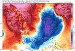
It’s the GFS, but that look is dangerously close to our first frost around day 8 in the colder spots of AL and GA.
Itryatgolf
Member
Just trending towards the euro bc it was pretty cool at 12zIt’s the GFS, but that look is dangerously close to our first frost around day 8 in the colder spots of AL and GA.
Nomanslandva
Member
Watering grass in Oct sucks. Front next weekend is the only chance for the next 10 days than that setup often jumps my back yard with down sloping and lee trough. Jeeze.
Heelyes
Member
Woke up to a beautiful 50 degrees this morning
W
WSW
Guest
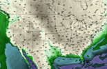
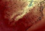
Yep. Perfect Fall weather. I remember days like this at home. Low 50's some sun, but mostly clouds. Nice.The 12z GFS continues the look. Here are the midafternoon surface temps on Sunday:
View attachment 137312
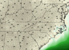
Dew points at the same time:
View attachment 137313
This would be the first of those great SE fall days, where you hunt out sunny spots because it's too cool in the shade.
Iceagewhereartthou
Member
It is too warm and a bit muggy right now for my Fall taste. I cannot wait for this front! ??The 12z GFS continues the look. Here are the midafternoon surface temps on Sunday:
View attachment 137312
Dew points at the same time:
View attachment 137313
This would be the first of those great SE fall days, where you hunt out sunny spots because it's too cool in the shade.
- Joined
- Jan 2, 2017
- Messages
- 1,566
- Reaction score
- 4,279
Agree with you 100%It is too warm and a bit muggy right now for my Fall taste. I cannot wait for this front! ??
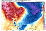
Sunday will feel amazing. GFS and CMC agree on temps in low to mid 40's around the upstate and some 30's in the mountains.
NoSnowATL
Member
Might need to water the grass with that look.
That or put some clothes on it!Might need to water the grass with that look.
Brent
Member
W
WSW
Guest
Now that's more like it.
NoSnowATL
Member
tanning lotion for my area.That or put some clothes on it!
NoSnowATL
Member
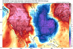
Must be nice to get true cold fronts.Still nearly 90 here today but wow. We haven't even had a low much below 60 yetView attachment 137320
Itryatgolf
Member
If the euro is to be believed, we won't get out of the 60s for highs for three days straight?
Im with you. Trying to beat the frost after having to wait forever for hot wx grass to call it quits. Small window for the ole rye grass to get going this year. Plenty of money lying around for the water bill, with Gas and Food so cheap LOL. Priorities!Watering grass in Oct sucks. Front next weekend is the only chance for the next 10 days than that setup often jumps my back yard with down sloping and lee trough. Jeeze.

