tractor girl
Member
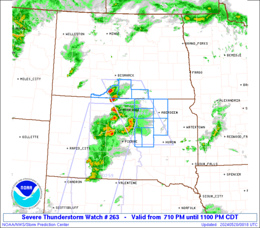
Confusion over watch coverage area shown in two images above.
One is for the entire state: https://s16.postimg.org/3p51e27et/Screen_Shot_2017-05-24_at_10.58.18_AM.png
One is for middle to south GA: https://pbs.twimg.com/media/DAmbpIDXoAAn1Gw.jpg
Which one is accurate? The second one doesn't have a watch # or timestamp, so.. ?
One is for the entire state: https://s16.postimg.org/3p51e27et/Screen_Shot_2017-05-24_at_10.58.18_AM.png
One is for middle to south GA: https://pbs.twimg.com/media/DAmbpIDXoAAn1Gw.jpg
Which one is accurate? The second one doesn't have a watch # or timestamp, so.. ?

")

