Kylo
Member
ICON precip. 40"+ in some locales.

A u-turn would have to happen at this point for that to occurThis model say hello south Florida lol!! Ok?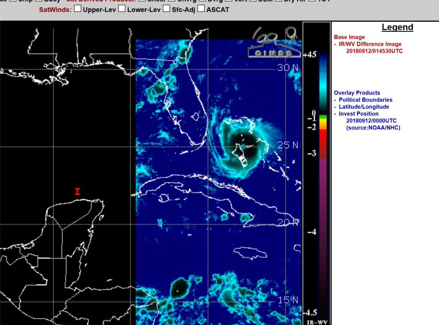
Now it's down to 930.Pretty much the same at hr 42. The pressure is down to 934 this run though...


Looks like the NC/SC line or maybe even Myrtle to me. Of course, can't see much on those maps. Will have to wait till the points come out to see for sure.

I have never seen a track like this lol
Looking at the microwave Florence appears to have completed an eyewall replacement cycle a little before noon today and thus has a larger eye and also a better chance of stronger organization coming up.
The southwestern side of Florence certainly looks more improved over the past half hour,maybe it's working out some of that dry air.


.png")
