• Hello, please take a minute to check out our awesome content, contributed by the wonderful members of our community. We hope you'll add your own thoughts and opinions by making a free account!

Tropical Major Hurricane Florence

Damn
6d8e21fba5801d7501ffbbbebc3e9a73.jpg


Sent from my SM-G955U using Tapatalk
 
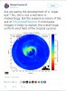
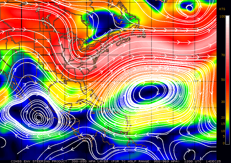
I know it's slowing down and it's probably more wnw then nw atm, also every model has this turning west into Wilmington. But looking at water vapor and current stirring currents don't be surprised if it slides a little more north more like Morehead City. There is a disconnect between the two highs and realize this is why the stirring currents are relaxing but nothing there either to really push this sw atm...

wg8dlm4.GIF

This shortwave over New England is going to weaken the western flank of the Azores-Bermuda high and allow the high over the TN Valley to predominate the large-scale steering flow and push Florence WSW or even potentially SW momentarily. How quickly this occurs remains to be seen but it's liable to happen within the next 18-24 hours.

GOES16_1km_vis_201809131345_26.00_51.25_-96.50_-59.75_vis1_ltng_hgwy_weathernerds.gif

gfs_z500_vort_eus_2.png
 
Greg Fishel

5 mins ·


DO NOT LET “WEAKER” WINDS MISLEAD YOU!

Once again we all have been humbled by Florence’s unpredictability. Just 24 hours ago max sustained winds were forecast to be 145mph this morning. In reality they are 110mph. But here’s the deal and why Florence not only could be, but is still likely to be one of the most significant weather events in North Carolina history. First a large wind field, i.e. tropical storm force winds extending 140-195 miles from the center, make it the equivalent of a smaller more intense hurricane when it comes to storm surge. Second, Florence is already slowing down, and by the way that element of the forecast has been spot on. Florence coming to a crawl means hour upon hour of relentless winds and rain for southeastern North Carolina. Bottom line, true devastation is still very much on the table along with major river flooding inland. Now, regarding the Triangle, I do not at this point see the impacts being as bad as Fran. We will not experience several hours of winds gusting to 60-70 mph and most likely will not receive 9-10 inches of rain. I am much more confident about the winds than the rain as there are still ways that higher amounts could occur, which would greatly increase flooding potential. But I do have a very hard time imagining repeating the landscape of downed trees everywhere. Unfortunately you won’t have to venture very far south and east of Raleigh to experience a very different scenario. This is going to be long and tough. We will do our very best to keep you informed and safe, and if Florence begins to behave in a way that we didn’t anticipate, we’ll be the first to admit it and will adjust our forecast accordingly. Ok it’s time. Let’s get through this together!
 
Lets start with what we know at this point:
She is still a strong hurricane, with time to get stronger. She is definitely fighting to do that. ALL models are forecasting the stall. They also forecast some WSW to even SW or SSW (1 or 2) for a time as well. I think the window is closing quickly for this to get that far north ( ie I am talking about east of Morehead City. The speed has really slowed down, which y'all know is a sign of steering collapsing but usually means we will see a change in direction (movement) as well.
 
Yep seems quick....


Tornado Warning
Tornado Warning
NCC095-131515-
/O.NEW.KMHX.TO.W.0003.180913T1500Z-180913T1515Z/

BULLETIN - EAS ACTIVATION REQUESTED
Tornado Warning
National Weather Service Newport/Morehead City NC
1100 AM EDT THU SEP 13 2018

The National Weather Service in Newport has issued a

* Tornado Warning for...
Central Hyde County in eastern North Carolina...

* Until 1115 AM EDT.

* At 1100 AM EDT, a severe thunderstorm capable of producing a
tornado was located near Swindell Fork, or 27 miles north of Cedar
Island, moving west at 45 mph.

HAZARD...Tornado.

SOURCE...Radar indicated rotation.

Already got a tornado warning

5ce59f9ea095bb67a8248aa8cfb2f6f8.png


Sent from my iPhone using Tapatalk
 
Given the breadth and the intensity of Florence's wind field as it approaches NC, there's going to be a lot of low-level shear, thus the tornado threat in the northern & eastern quadrants of the storm will be pretty high compared to what we "normally" see w/ a landfalling TC in NC.
 
Yep seems quick....


Tornado Warning
Tornado Warning
NCC095-131515-
/O.NEW.KMHX.TO.W.0003.180913T1500Z-180913T1515Z/

BULLETIN - EAS ACTIVATION REQUESTED
Tornado Warning
National Weather Service Newport/Morehead City NC
1100 AM EDT THU SEP 13 2018

The National Weather Service in Newport has issued a

* Tornado Warning for...
Central Hyde County in eastern North Carolina...

* Until 1115 AM EDT.

* At 1100 AM EDT, a severe thunderstorm capable of producing a
tornado was located near Swindell Fork, or 27 miles north of Cedar
Island, moving west at 45 mph.

HAZARD...Tornado.

SOURCE...Radar indicated rotation.
Created an Observstions thread for posts like this just now. Since members will be directly impacted the thread needed to go up sometime.
 
Yep seems quick....


Tornado Warning
Tornado Warning
NCC095-131515-
/O.NEW.KMHX.TO.W.0003.180913T1500Z-180913T1515Z/

BULLETIN - EAS ACTIVATION REQUESTED
Tornado Warning
National Weather Service Newport/Morehead City NC
1100 AM EDT THU SEP 13 2018

The National Weather Service in Newport has issued a

* Tornado Warning for...
Central Hyde County in eastern North Carolina...

* Until 1115 AM EDT.

* At 1100 AM EDT, a severe thunderstorm capable of producing a
tornado was located near Swindell Fork, or 27 miles north of Cedar
Island, moving west at 45 mph.

HAZARD...Tornado.

SOURCE...Radar indicated rotation.
I know the potential tornado is moving quickly, but I don't know if I've ever seen a Tornado Warning whose duration was only 15 minutes long.
 
Created an Observstions thread for posts like this just now. Since members will be directly impacted the thread needed to go up sometime.
Check your PM, looks like you were not included in the original PM about this the other day.... I just invited you so hopefully you can see that conversation. It was agreed to keep it all in here
 
RGEM and NAM both coming in farther south than their 6z runs. Looks like as soon as they make landfall, they pretty much spin wsw and then straight SW. Maybe good news for those of us farther inland.
 
Back
Top