GeorgiaGirl
Member
Yeah, idk why I'm even looking at models today because even the one that got the intensification right was a bit late on it.
I don't know why any met would have said Erin is going out to sea already. These things don't act like they used to. Look at how fast it went from a tropical storm to a cat 5 hurricane. And we have seen the models have not done well this far out and there can be big changes from one day to the next with the track the closer it gets to land.

Perfect!!!! I concur!!
That's a storm that belongs in the Wpac. Good thing it's missing the uslands!!!Man. This is some high end stuff. CDO is cooling again. Looks like we’re strengthening again and we should have a plane in there this evening
View attachment 174326View attachment 174327
YupThat's a storm that belongs in the Wpac. Good thing it's missing the uslands!!!
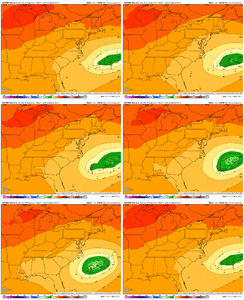
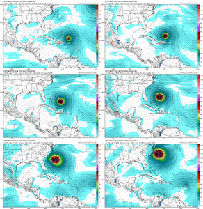
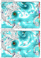
Remember a few days ago when the stronger ensemble members were way west of the mean?
From a few days ago View attachment 174328
Doesn't mean that at all. It's just something to watch and to see if the models adjust any more west based on today's movement when that gets ingested over the next couple of runs.OMG.....it's south of the outlier as well as all the rest.
I've been thinking all day that this strength has to have an impact.
Frankly, I don't care about the models anymore. They are playing catch-up up in my opinion. I'm watching real time effects to see what she does. The models are fantasy land anyway.Doesn't mean that at all. It's just something to watch and to see if the models adjust any more west based on today's movement when that gets ingested over the next couple of runs.
Her exit pathway still exists

I don't think it's a desire for the storm to turn west. My focus is millions of people should have enough time to get out of harms way. That didn't happen with Helene, for example. Now with an ots message, they are focused on other things. With the millions of people who live on the coast, 24 hours is not near enough time to move people out of the way.Still OTS boys, might be a little closer to the coast but weather says she is turning NW . Maybe the next one will destroy your house. I’ll keep my fingers crossed.
8pm confirmed center located 20N 64.6W moving West at 15 mph.Definitely weaker whether it makes another run at some crazy intensity remains to be seen
Yes it could happen but sometimes it does not
Recent data from both the NOAA and Air Force Reserve Hurricane
Hunters indicate that maximum sustained winds have decreased to near
150 mph (240 km/h) with higher gusts.


