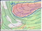
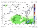
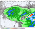
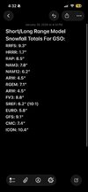
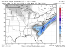
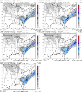
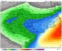
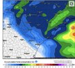
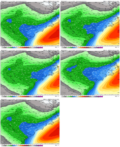
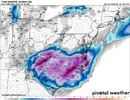
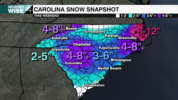
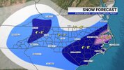
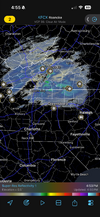
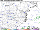
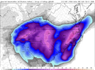
More interesting discussion from RAH this afternoon on the setup (and the potential dry slot)...
Snow should really increase in coverage and intensity beginning
Saturday morning, with the event
likely peaking in the afternoon and
evening as the mid/upper low interacts with the
deepening coastal
low and a band of 850
mb frontogenesis sets up. With very cold
temperatures in place, the snow will be of the dry and fluffy
variety as snow to liquid ratios through the event generally range
from 12:1 to 20:1, lowest in the SE and initially, highest in the NW
and by Saturday evening/night. Liquid equivalent
QPF for the event
is generally expected to range from a third to three quarters of an
inch, lowest N and highest SE. This generally translates to 4 to 8
inches across most of central
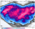
NC, but a band of 8 to 12 inches is
likely to set up somewhere over the state with the best chance along
and east of I-95. There is also a scenario where many spots receive
lower amounts that will have to be monitored, which is explained
below.
Despite only being 24 hours from the event, there is still quite a
bit of discrepancy among the models on where exactly the band of
heavier snow will be, and it will depend on where exactly the
elevated frontal zone sets up, as well as how far south the
mid/upper low tracks. This is a complex setup and small shifts in
track and intensity can have a huge effect on how much snow falls.
If the mid/upper low tracks farther south, it will take longer to
interact with the coastal low, keeping the 8+ inch amounts to our
east, and potentially resulting in lower than expected snowfall
totals across a good portion of central
NC. This is the scenario
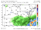
depicted by the 12z NAMNest and 18z HRRR, which depict very light
amounts stretching from the northern Coastal Plain into the NE
Piedmont due to a gap in forcing between the mid/upper low to our
west and the coastal low to our east, a signal that has shown up on
some model runs since yesterday. This is a concerning trend that
will have to be monitored to see if it continues. But until there is
more consistency from run to run, it`s hard to take this one
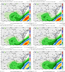
scenario with too much weight. High-res models have been waffling
back and forth, with a notable shift east in the axis of heaviest
snow in some of the 12z and 18z runs compared to 06z. However, if
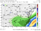
the mid/upper low and coastal low interact sooner, as depicted by
models like the 12z
GFS and lower-resolution
NAM, a larger area of
moderate to
heavy snow will develop over central
NC. Bust potential
is fairly high and this may be a nowcasting situation where we don`t
know exactly how far inland the heaviest snow will get. For now, a
Winter Storm
Warning continues from this evening through Sunday
morning.

