• Hello, please take a minute to check out our awesome content, contributed by the wonderful members of our community. We hope you'll add your own thoughts and opinions by making a free account!

Pattern July '22

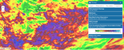
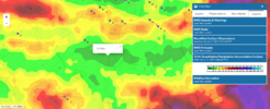
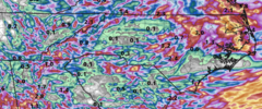
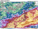
3K NAM a few lollipop gully washers here and there otherwise not even close to a drought buster that's for sure.

qpf_acc.us_ma.png
 
Took some pics of Corn Brunswick County on way back home last night. Get to lumberton back west,its toast.
Turn your head sideways to view lol.
 

Attachments

  • 20220705_190722.jpg
    20220705_190722.jpg
    2.8 MB · Views: 11
At carolina Beach for and I'm not sure I've ever seen thr water this color before. This is like some gulf of Mexico turquoise clear water.
Same at Holden yesterday. Gorgeous color, like 3 shades of blue. Got a few nice 4ft breakers as well
 
What is the deal with the busted forecasts lately for storms and rain here?
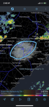
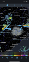
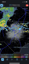
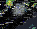
It's summer man no good dynamics to force storms/ rain so you are depending on mesoscale features to force convection. Yesterday over performed because the models under played the mcs moving in from the north and were too slow with its south push. Subsidence in its wake is likely to leave today dry until the next meso feature can force something if at all this evening. Outside of slam dunk situations like stalled fronts, cutoff lows, tropical systems (even here is not always 100%) the day to day forecast in the summer is best left at a 20-30% chance of afternoon storms
 
Last edited:
It's summer man no good dynamics to force storms/ rain so you are depending on mesoscale features to force convection. Yesterday over performed because the models under played the mcs moving in from the north and were too slow with its south push. Subsidence it is wake is likely to leave today dry until the next meso feature can force something if at all this evening. Outside of slam dunk situations like stalled fronts, cutoff lows, tropical systems (even here is not always 100%) the day to day forecast in the summer is best left at a 20-30% chance of afternoon storms

Mesoscale features as well as microclimate influences.

For example, if you're in a lower elevation area prone to downsloping or in a lake/ocean shadow, you're also less likely to see convection.
 
It's summer man no good dynamics to force storms/ rain so you are depending on mesoscale features to force convection. Yesterday over performed because the models under played the mcs moving in from the north and were too slow with its south push. Subsidence in its wake is likely to leave today dry until the next meso feature can force something if at all this evening. Outside of slam dunk situations like stalled fronts, cutoff lows, tropical systems (even here is not always 100%) the day to day forecast in the summer is best left at a 20-30% chance of afternoon storms
The coast has the sea-breeze front but even it doesn't produce sometimes.
 
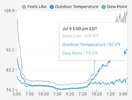
I am too. That 102 would be a six degree jump since the 2:00 observation. I'm not saying it couldn't happen but that is unusual to say the least.
I think 100 is plausible just looking around with Goldsboro at 98, Burlington 97, Smithfield 97 but 102 is weird . They did some work at the station a few weeks back been weird since then .
 
Back
Top