• Hello, please take a minute to check out our awesome content, contributed by the wonderful members of our community. We hope you'll add your own thoughts and opinions by making a free account!

Misc Jukin June

appears to be a good deal of rain across the region today ...
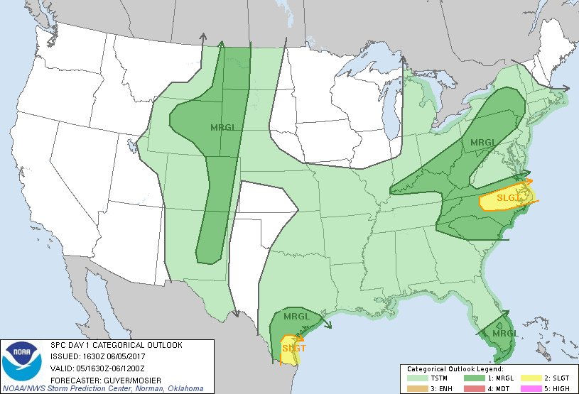
currad2.png
 
And closer to home IMBY ...
From NWS JAX:
Waves of heavy rainfall are expected to overspread our region beginning this afternoon and continuing into early Thursday. Weak low pressure approaching the Florida panhandle coast on Tuesday morning will push overnight thunderstorm activity over the Gulf of Mexico quickly northeastward through our region on Tuesday morning. Very heavy downpours and cloud to ground lightning strikes will be the main threats with this activity. A squall line of strong to severe thunderstorms is then expected to develop over the Florida Big Bend region and south central Georgia by the early afternoon hours, with this activity moving quickly east-southeastward through our region during the afternoon hours. The Storm Prediction Center has placed areas from Waycross southward throughout all of northeast and north central Florida within a marginal risk for severe thunderstorm development on Tuesday. Damaging wind gusts, isolated tornadoes, and flooding downpours will be the primary threats with this activity.
Screen_Shot_2017-06-05_at_3.03.15_PM.png

Screen_Shot_2017-06-05_at_3.02.56_PM.png
 
It is the 18Z GFS -- but temp anomalies are not shabby at all for another week or so ... :cool:

not gonna post every map or it would chew up the server!!!
 
Not a 90 degree day in sight here. Only had a few so far, so wouldn't mind seeing few this month or even better, I'll go for none.
You're a bit north of me, but I'm with you a thousand percent! 80's are just fine, thank you!
Same with seeing no named storms!
 
What a dud rainfall event! 3+ days of rain, less than 1/2 " to show for it! :(
 
I'm only really getting started, starting last night with the rain event(s). Popcorn storms can be hit and miss. I did have a heavy shower yesterday at night but outside of thick humidity today, so far nothing...
 
Just happened to check my NWS forecast for the first time in a while.

Man, THOSE predictions are stunning. I saw a high 70s. Whoa.

I thought low 80s in June with the sun out was impossible.
 
I seriously can't believe how hard Im getting shafted right now in Hope Mills... Big storms to my north and south for the past hour, not a drop at my place. Da fuq.
 
Now it's pouring here, same like yesterday, the rain comes at night.

The humidity will be bad but I honestly hope for the same the next two days.
 
Winter 2017 /2018 JB says lock it up lmao!!!
3d3d10011f7e3234f7148360eb4da843.jpg
52db47baa70bda9d6e1da0393506319a.jpg


Sent from my SM-J320VPP using Tapatalk
JAMSTEC is on board also for a cold winter! :)
Can't wait til Brazillian is in range and onboard, what could possibly go wrong!
 
I think it's time to break these bad boys back out again lol. I swear he's the biggest degreed weather weenie I know.

View attachment 577 View attachment 578 View attachment 579

Okay I think you get the picture lmao

Joe's something else! Keep in mind that even if this model didn't show cold, he had already strongly hinted that he was once again going for a cold winter for the E US. If the model had shown mild, I doubt that he would have shown it. What makes this worse is that this comes about 4 years after he predicted that 3 of the subsequent 5 winters would not be cold in the E US. However, as each subsequent individual winter's prediction was made, the mild winter predictions have been nowhere to be found. But to be fair, I do like his passion, teleconnection ideas, and pattern recognition abilities. There's never a dull moment in reading or listening to his discussions. He's be so much better if he could control his very strong cold, snow, and pro-storm bias! That bias has caused a good number of seasonal forecast flops, especially winter.

Be that as it may, I don't think that this year's expected cold prediction is all due to weenieism. IF we can manage to get El Nino, I'd likely go cold for the SE US at least. Why do I say this? A Nino following a weak Niña would be quite promising per history for a colder than normal winter in the SE US. The only El Nino winter during the last 135+ years following a weak Niña that was warm in the SE US was 1951-2 though even it had a major winter storm for much of the upper SE. There have been ten El Nino winters following weak La Nina winters since the late 1860's per the Webber tables. So, 90% were colder than normal.
 
I dunno about you guys but my forecast says that today and tomorrow we'll continue with the rain but after that sunny for thu, fri, sat, and sun but then???!

Rain and storms EVERY. SINGLE. DAY next week, yay! Not really.
 
Looks like we might dry out here today. My daughter had another softball game rained out last night. That's the fourth one this season. Hope to get the lawn mowed after work tonight if it is dry enough because my son has makeup baseball games tomorrow and Thursday night, and we're leaving Friday night to go out if town for the weekend. Going to Busch Gardens on Saturday. Looks like really nice weather the rest of the week.
 
Last year in Atlanta, our first 90 degree day was measured on June 7, followed by a heat wave a few days later.

June 7 - 90
June 8 - 87
June 9 - 89
June 10 - 93
June 11 - 96
June 12 - 96
June 13 - 97
June 14 - 96
June 15 - 89
 
Larry, I swear I heard or read that JB has backed off of his El Niño predictions !? Maybe it was Accuweather or something, but somebody called it off, saying the waters in the Nino region have stopped warming and were beginning to cool. That would not bode well for our blockbuster winter as you described above
 
Larry, I swear I heard or read that JB has backed off of his El Niño predictions !? Maybe it was Accuweather or something, but somebody called it off, saying the waters in the Nino region have stopped warming and were beginning to cool. That would not bode well for our blockbuster winter as you described above

From JB Twitter 5/28, the last post I can find referencing ENSO:

"
Joe Bastardi @BigJoeBastardi
·May 28

Coming Nino not likely to spike temps as SST around event cooling relative to 2016 JMA shows Feb-May difference"

So, based on this, he's still calling for El Niño (Modoki I think).
 
Last edited:
Wow! glad my house is on a hill with a gradual slope in three directions. I have now recorded 3 1/2 inches of rain since 6:00 am yesterday. Two of that has fallen this morning. The rain to heavy rain continues to develop and no move in central and southern Jefferson County AL. There are many reports of flooded streets in and around the greater B'ham metro now. Some police rescues ongoing in some of the usual flood areas. Ready for it to be Wednesday-Sunday with the change to drier and lower humidity. The drought is busted.
 
Flood warning for my county . Parts of my area now have a 5 inch + surplus of rain for 2017

#whatdrought???
 
That is probably the best map you could see right now. That should knock the drought across all of Florida back a bit.
I'm not going to post it since it is time sensitive and a static screen shot would do no justice, but if anyone is interested, go to Wiki > Models, and look at the current water vapor loop (the 2nd to last link in the Wind Maps/Water Vapor section). What a bunch of wet ... :cool:
 
Still raining , started before 7 and hasn't stopped. Flooding a big problem in vestavia. Water rescues underway
 
Back
Top