-
Hello, please take a minute to check out our awesome content, contributed by the wonderful members of our community. We hope you'll add your own thoughts and opinions by making a free account!
You are using an out of date browser. It may not display this or other websites correctly.
You should upgrade or use an alternative browser.
You should upgrade or use an alternative browser.
Pattern Januworry
- Thread starter SD
- Start date
NBAcentel
Member
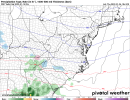
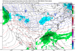
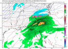
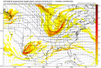
? No ridge to keep it from diggingIncoming weenie run ? View attachment 102307
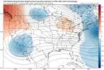
+PNA steepening...
NBAcentel
Member
D
Deleted member 609
Guest
- Joined
- Jan 2, 2017
- Messages
- 1,566
- Reaction score
- 4,279
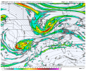
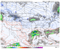
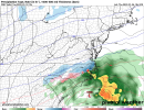
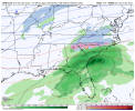
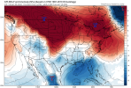
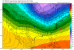
Denim destruction!Now that’s a look right there View attachment 102309View attachment 102310
Gonna see some clown map runs over the next week.
NBAcentel
Member
D
Deleted member 609
Guest
Flotown
Member
Yeah we gonna see some CRAZY runs this week
Big mid range classic Miller A nor’easter
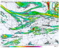
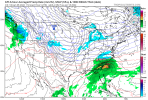
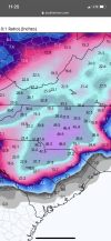
Looking fantastic! All the snow weenies going pants shopping tonightCome on. Do it you bastard. View attachment 102311
accu35
Member
That system Sunday/Monday needs watch. Few members starting to show some snow/icy on the back edge of the front. Mainly towards mid south areas
D
Deleted member 609
Guest
This happened right?
A few days back, yes! Models picking up on pattern changeThis happened right?
You’ve always got a room here, Mack! Just say the word ?
D
Deleted member 609
Guest
Never let your ex move back in with youYou’ve always got a room here, Mack! Just say the word ?
Same! Come on up and feel your eyeball water freeze! It’s good timesYou’ve always got a room here, Mack! Just say the word ?
NBAcentel
Member
GEFS might get that TPV involved again, it is indeed happy hour
LovingGulfLows
Member
- Joined
- Jan 5, 2017
- Messages
- 1,499
- Reaction score
- 4,100
Definitely seeing signs of a Miller A or B pattern....we haven't had a classic gulf cyclone riding along the gulf coast and throwing snow back over the south in forever.
NBAcentel
Member
LovingGulfLows
Member
- Joined
- Jan 5, 2017
- Messages
- 1,499
- Reaction score
- 4,100
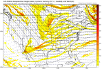
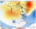
Ideally we want that TPV around the GLs for a great pattern given the active STJ, we definitely have time View attachment 102325
Split flow + Baja low + positive PNA ridge + TPV in southern Canada = money.
#deleteyouraccountHere comes another...incoming View attachment 102320
NBAcentel
Member
Yeah if that TPV was to hit the money spot then southern sliders would be favored given the far enough south TPV suppressing/cold press and active southern streamSplit flow + Baja low + positive PNA ridge + TPV in southern Canada = money.
pcbjr
Member
Just using this as an example. Posting maps that simply show this, that or the other is a waste; posting maps, as here, with some explanation is a real benefit. Pictures are pictures; they are available on 100 weather websites; explanations and discussion on what, when, why and where are largely sorely missing and when they show up, it makes a world of difference ... thanks to y'all who care enough to explain the many maps you post ...Ideally we want that TPV around the GLs for a great pattern given the active STJ, we definitely have time View attachment 102325
LovingGulfLows
Member
- Joined
- Jan 5, 2017
- Messages
- 1,499
- Reaction score
- 4,100
Yeah if that TPV was to hit the money spot then southern sliders would be favored given the far enough south TPV suppressing/cold press and active southern stream
The 18z GFS from around hour 252+ is incredibly active and air cold enough for snow is within touching distance along with a ton of energy flying around. If that pattern materalizes, there's no way some folks on this board won't see snow.
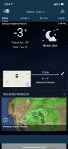
What’s the water service line depth requirement in Dubuque?Gonna be a chilly night when it’s not even 6 pm yet! ???View attachment 102327
Ron Burgundy
Member
Holy crap. I thought those were 850s! ?brrrr
NBAcentel
Member
Man I don’t know, I live in an apartment!What’s the water service line depth requirement in Dubuque?
Ron Burgundy
Member
Left, please!

