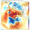
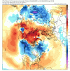
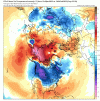
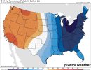
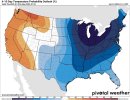
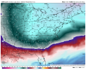
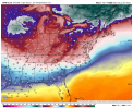
I'm pretty confident we'll squeeze out another storm or two. Let's hope it's a more snow event for the entire region. I DO think the pattern will break down in early to mid Feb, but who knows.
-
Hello, please take a minute to check out our awesome content, contributed by the wonderful members of our community. We hope you'll add your own thoughts and opinions by making a free account!
You are using an out of date browser. It may not display this or other websites correctly.
You should upgrade or use an alternative browser.
You should upgrade or use an alternative browser.
Pattern Januworry
- Thread starter SD
- Start date
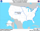
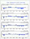
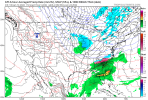
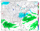
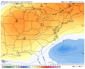
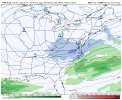
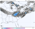
Surface reminds me of feb 2014 with back to back systemsOh man this time frame is looking legit View attachment 105642View attachment 105643View attachment 105644
See that HP placement? All in.View attachment 105657
This is what this weekend’s storm looked like a week out. I know it’s been said over and over again, but we probably want anything showing up in the models right now to be suppressed to account for any potential amping/northwest trend.
pcbjr
Member
pcbjr
Member
Broken024
Member
GEFS is basically a parade of winter storms from hour 150 on. Can't recall anything looking like that before.
lexxnchloe
Member
I said this earlier, but look at the dates… Saturday 1/22 and Monday 1/24… same as January 2000
Mr. Golf
Member
I think the only way to avoid February being warm is to keep mjo out of 4-6 phases, if that's possible.
This is the January thread, not worried about February yetI think the only way to avoid February being warm is to keep mjo out of 4-6 phases, if that's possible.
Lol no we won't.We may be seriously crying for mercy.
One thing I've noticed at or near the end of the latest GFS runs is the western ridge apex rolling over forward, allowing troughing back off the NW coast. That’s not ideal. It would result in a more zonal flow, particularly with no good -NAO. You see hints of it here:
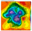
But fortunately, it goes to this, which is good. Nice -AO showing up, maybe even good trends near Greenland.
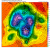
Not a bad look to the LR. It's particularly satisfying to see this in light of the multitude of La Nina-based winter forecasts that had virtually no winter in the east. Hopefully, we continue to see this going forward, along with a period of legitimate help in the NAO space.
Not only did DFW tie the record high of 79*F today (despite cirrostratus taking over during the afternoon), but now we're at average for the month.
I do need some sierras snow in the next 2.5 weeks.
I’ll definitely be crying for mercy if we average 45/25 over the next month. That is a lot of firewood burned.Lol no we won't.
One thing I've noticed at or near the end of the latest GFS runs is the western ridge apex rolling over forward, allowing troughing back off the NW coast. That’s not ideal. It would result in a more zonal flow, particularly with no good -NAO. You see hints of it here:
View attachment 105708
But fortunately, it goes to this, which is good. Nice -AO showing up, maybe even good trends near Greenland.
View attachment 105709
Not a bad look to the LR. It's particularly satisfying to see this in light of the multitude of La Nina-based winter forecasts that had virtually no winter in the east. Hopefully, we continue to see this going forward, along with a period of legitimate help in the NAO space.

