• Hello, please take a minute to check out our awesome content, contributed by the wonderful members of our community. We hope you'll add your own thoughts and opinions by making a free account!

Pattern Januworry

I wonder if the strong possibility of the La Niña breaking down within the next couple months has any affect on the southern jet starting to get cranking back up now. If so oh boy for the next 3-4 weeks.
Sometimes a phase 7 MJO/west pacific forcing can amp up the subtropical jet stream as well
 
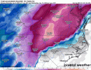
That's quite a huge snowstorm from Upstate SC/Central NC and points north from there. Even Columbia gets a heavy backend snow . Move that 1048 H in Minnsota/Dakotas a bit futher south/east and this could've possibly been a historic snow event for a huge portion of South Carolina and even Georgia with more cold air involved for those areas . Overall I like the trend that we have seen on the Models so far.
 
Gefs has raised AAM as @griteater mentioned, this slows down the pacific jet retraction even more, this has resulted in this change

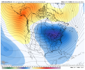
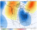
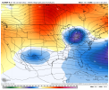
note this was from yesterday at 12z, notice more ridging in the Aleutians and GOA as the gefs was faster with the NPAC ridge retrogression given the faster retraction 23F4EF4C-F356-4700-9FFC-185EE572E833.png

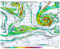
Now we have this, a stronger pacific jet way out in the PAC, and one slower to retract, this results in a extended stay with more Aleutian low/+PNA/-EPO, this change is a more clean look for the eastern US and has less fail potential D6FCA014-2973-478E-A75E-6DA406EC4EF8.png
 
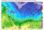
Also a quick fun note to add with the GFS storm.. temperatures after the fact if you saw snow or ice temps remain at or below freezing for a few days after and even towards the end of the run highs only got to around 34-36 degrees and then below freezing at night … prolonged snow and ice on the ground for at least a week after the storm as well.. crazy
 
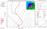
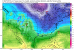
here comes the plunge on the euro at the end of 10 days
1642507200-UzOysynBHwI.png
 
Back
Top