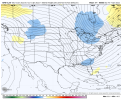
I just drove down there and it’s swampy floody water in the trees why would they even want snow it would be unnatural to the areas animals and peopleDon’t do that to them lol.
Sent from my iPhone using Tapatalk
-
Hello, please take a minute to check out our awesome content, contributed by the wonderful members of our community. We hope you'll add your own thoughts and opinions by making a free account!
You are using an out of date browser. It may not display this or other websites correctly.
You should upgrade or use an alternative browser.
You should upgrade or use an alternative browser.
Pattern Januworry
- Thread starter SD
- Start date
packfan98
Moderator
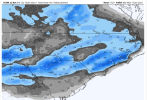
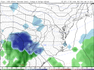
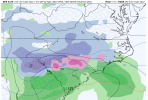
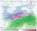
Here's the snow total from the ICON off Tropical Tidbits. Says it uses a True Liquid ratio.

iGRXY
Member
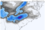
2-5" Special from along and south of I85 and along and north of I20 per ICON. I think we have something brewing here.
Here's the snow total from the ICON off Tropical Tidbits. Says it uses a True Liquid ratio.

Not bad since all previous runs had nothing. Lets trend in the right direction fellas.
Sent from my iPhone using Tapatalk
NBAcentel
Member
iGRXY
Member
GFS looking like 06z and not evolving like ICON .. not worried honestly it’s so slow it hurts
NBAcentel
Member
iGRXY
Member
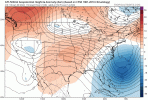
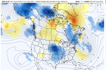
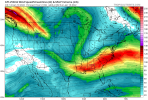
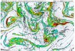
GFS looks better to be. More TPV and the energy is stronger coming down.
GFS is digging quite nicely with the wave, and stronger, hit incoming
iGRXY
Member
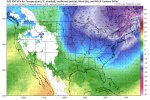
Definitely more cold air on the GFS.
Fountainguy97
Member
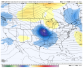
gfs vastly improved. Big step toward EURO and others. We may have a ballgame on our hands.
Sheesh maybe it’ll be okay actually it’s digging like it’s life depends on it .. let’s watch ..
Very nice hit incoming on the GFS
iGRXY
Member
here it comes.


Montanasnow30
Member
Gfs is definitely digging more with the wave like @griteater was mentioning y’all may just have something brewing
Storm5
Member
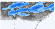
Big hit for Tennessee
Sent from my iPhone using Tapatalk
Sent from my iPhone using Tapatalk
lord have mercy


iGRXY
Member
Storm5
Member
Almost clipper like
Sent from my iPhone using Tapatalk
Sent from my iPhone using Tapatalk
Very nice hit incoming on the GFS

He's forecast says no snow E of MTNS till the end of the month ? soo... not getting my hopes up....till birdman gets on were doomed lol. In all seriousness though I've said it for two weeks the middle of the month has looked interesting for a while now. Got the cold air on tap plenty of energy flying around. Just a matter of time before something hooks up for the SE. If the Euro holds by tomorrow its game on. Ole goofy will probably be late as usual.Wow! That was so negative ???
bang!


iGRXY
Member
GFS spitting out highest totals in Northern SC
Temps in the 20’s … THREAD TIME
SC...cha ching!


D
Deleted member 609
Guest
NBAcentel
Member
iGRXY
Member
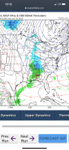
This might be a crazy question but the 540 line is in central GA why is it showing so much green. I mean it got snow in Metro Atlanta but I with the 540 further south, I would have thought that the blue would expand further south.
And we have a thread
decent.


Cadi40
Member
And this isn’t even our only opportunity ?

