WXinCanton
Member
FFC's take:
At the surface, high pressure will prevail much of the time. A
strong cold front/low pressure system is progged to move through
Saturday into Sunday, bringing the next chances for significant
precipitation.
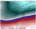
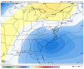
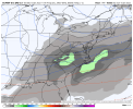
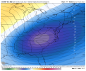
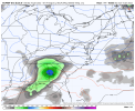
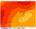
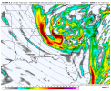
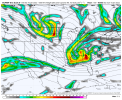
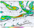
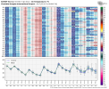
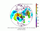
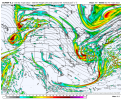
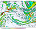
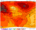
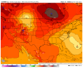
There are some differences between the ECMWF for the long term. The
ECMWF is producing some light precip with the strong shortwave energy
late Thursday into Friday while the GFS is dry. The second
difference is for the Saturday into Sunday system. The GFS is much
further north with the low pressure track, while the ECMWF looks to
be further south and wetter. Will stick with the blend for now.
NListemaa
&&

